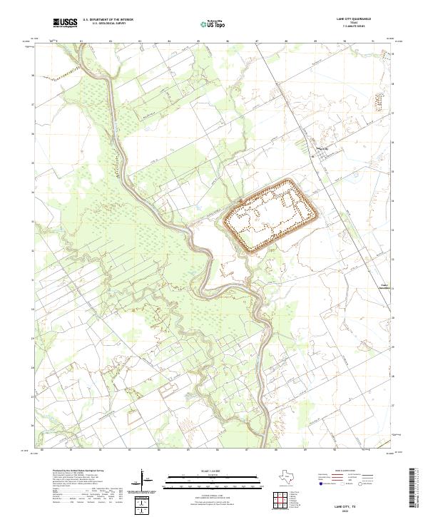
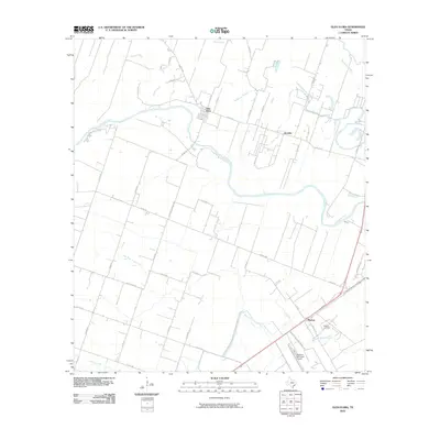
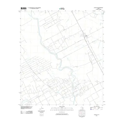
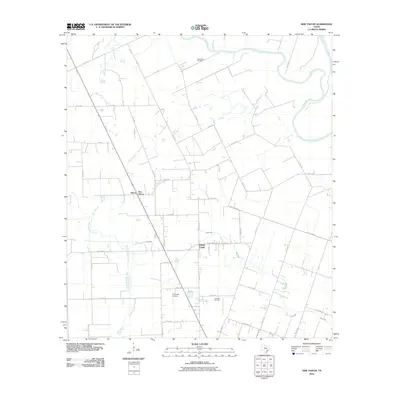
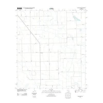
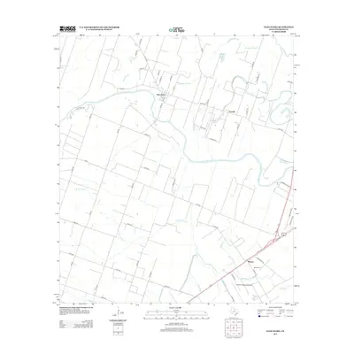
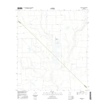
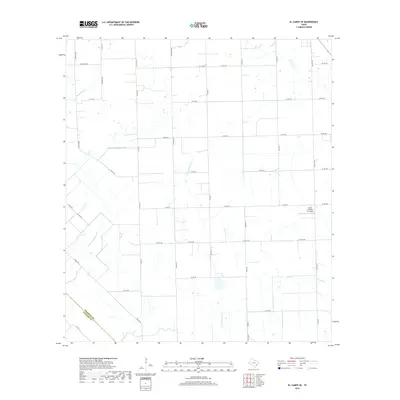
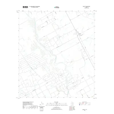
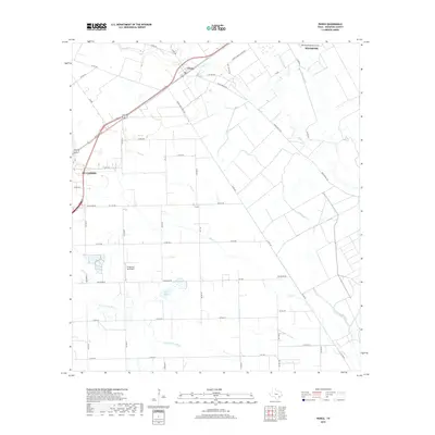
2022 Map of Lane City
USGS Topo · Published 2022About this map
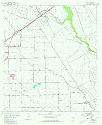
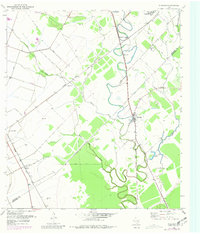
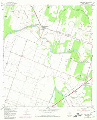
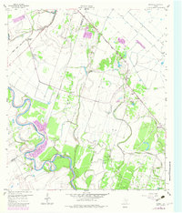
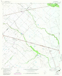
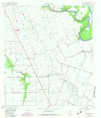
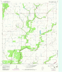
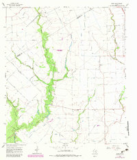
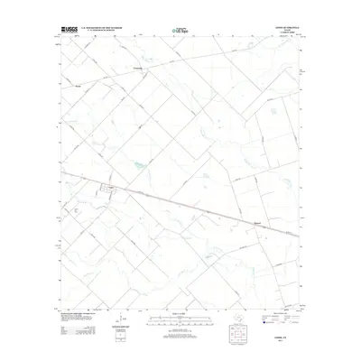
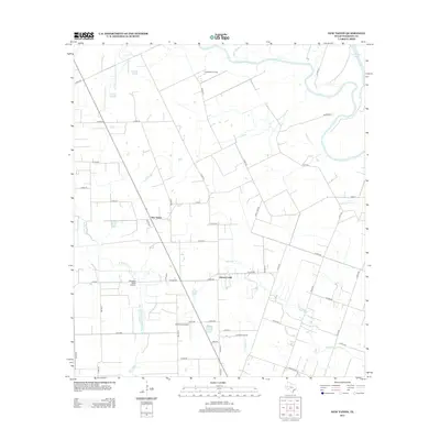
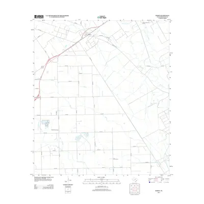
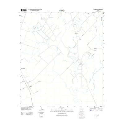
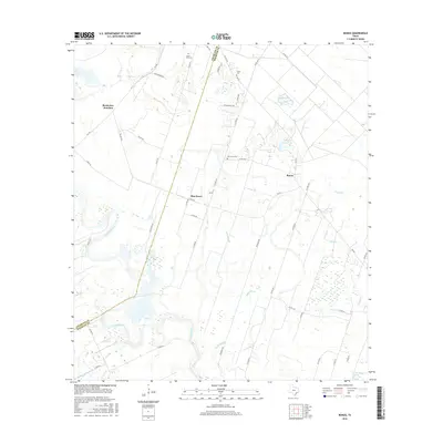
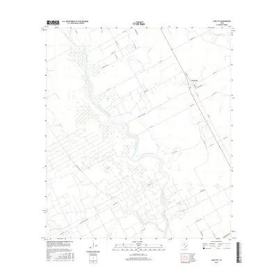
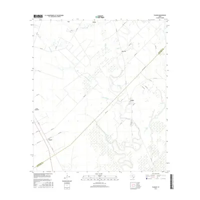
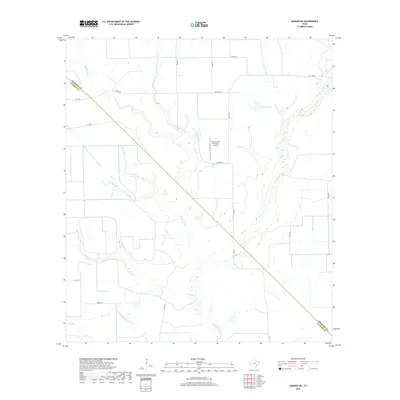
The Colorado River defines the western and central reaches of this 2022 survey, carving a winding path through the flat coastal plains of Wharton County. The settlement of Lane City serves as a focal point in the northeast, positioned near a network of local roads such as Baumgarden and Eldridge St. The landscape is a complex system of drainage and irrigation, evidenced by features like the Pumping Station Rd and various watercourses including Jarvis Cr, Jones Creek, and Water Hole Cr. To the south, Cane Junction sits along the road network near Cockburn Rd. The abundance of named rural routes, such as Pierce Ranch Rd and Wolf Run Rd, suggests a landscape dominated by agriculture and large landholdings, where historical ranching roots intersect with modern infrastructure near the banks of the river and its tributaries like Bosque Cr.
Find a feature on this map
42 named features on this map. Tap any name to fly to it.
Don’t see what you’re looking for? This feature index may not catch every label — zoom into the map to look around manually.
Map Details
Editions of this 2022 Lane City Map
This is the sole edition of this map. No revisions or reprints were ever made.
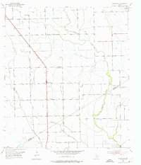
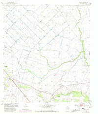
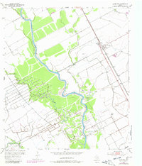
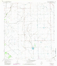
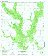
Historical Maps of Lane City Through Time
78 maps found
1951 Danevang
Wharton County, TX
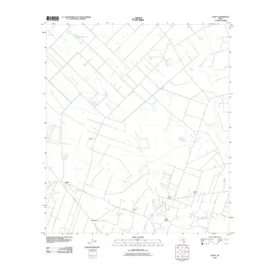
1952 Egypt
Wharton County, TX
1952 Lane City
Wharton County, TX
1952 Pierce
Wharton County, TX
1952 Pledger
Wharton County, TX
1953 Glen Flora
Wharton County, TX
1959 Bonus
Wharton County, TX
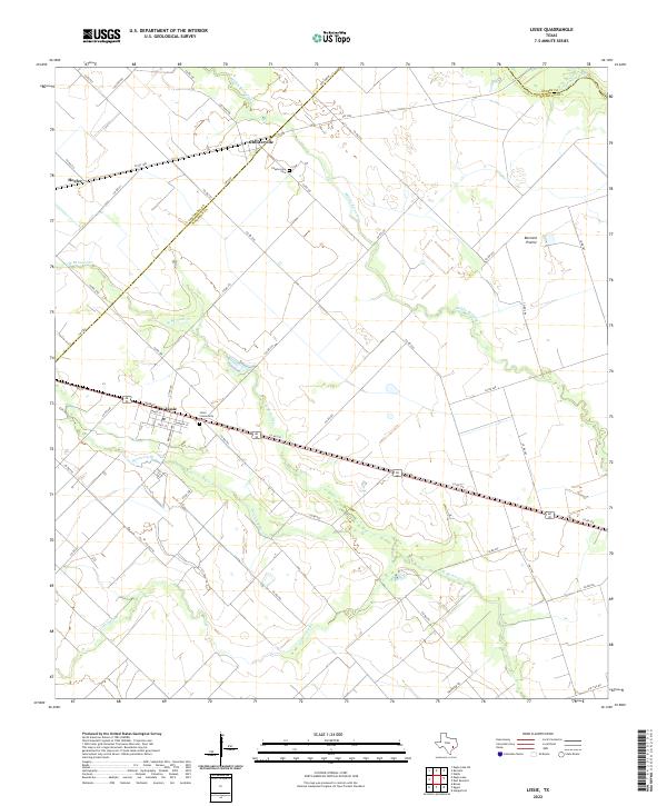
1960 Lissie
Wharton County, TX
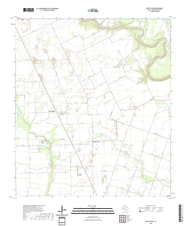
1960 New Taiton
Wharton County, TX
1965 El Campo SE
Wharton County, TX
1965 Ganado NE
Wharton County, TX
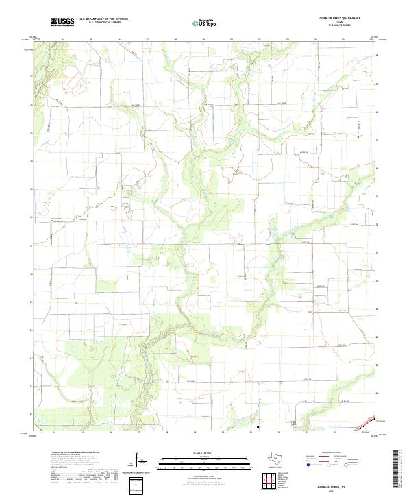
1965 Gobbler Creek
Wharton County, TX
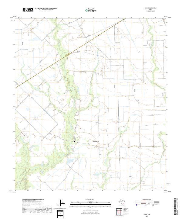
1965 Hahn
Wharton County, TX
2010 Bonus
Wharton County, TX
2010 Danevang
Wharton County, TX
2010 Egypt
Wharton County, TX
2010 El Campo SE
Wharton County, TX
2010 Ganado NE
Wharton County, TX
2010 Glen Flora
Wharton County, TX
2010 Gobbler Creek
Wharton County, TX
2010 Hahn
Wharton County, TX
2010 Lane City
Wharton County, TX
2010 Lissie
Wharton County, TX
2010 New Taiton
Wharton County, TX
2010 Pierce
Wharton County, TX
2010 Pledger
Wharton County, TX
2013 Bonus
Wharton County, TX
2013 Danevang
Wharton County, TX
2013 Egypt
Wharton County, TX
2013 El Campo SE
Wharton County, TX
2013 Ganado NE
Wharton County, TX
2013 Glen Flora
Wharton County, TX
2013 Gobbler Creek
Wharton County, TX
2013 Hahn
Wharton County, TX
2013 Lane City
Wharton County, TX
2013 Lissie
Wharton County, TX
2013 New Taiton
Wharton County, TX
2013 Pierce
Wharton County, TX
2013 Pledger
Wharton County, TX
2016 Bonus
Wharton County, TX
2016 Danevang
Wharton County, TX
2016 Egypt
Wharton County, TX
2016 El Campo SE
Wharton County, TX
2016 Ganado NE
Wharton County, TX
2016 Glen Flora
Wharton County, TX
2016 Gobbler Creek
Wharton County, TX
2016 Hahn
Wharton County, TX
2016 Lane City
Wharton County, TX
2016 Lissie
Wharton County, TX
2016 New Taiton
Wharton County, TX
2016 Pierce
Wharton County, TX
2016 Pledger
Wharton County, TX
2019 Bonus
Wharton County, TX
2019 Danevang
Wharton County, TX
2019 Egypt
Wharton County, TX
2019 El Campo SE
Wharton County, TX
2019 Ganado NE
Wharton County, TX
2019 Glen Flora
Wharton County, TX
2019 Gobbler Creek
Wharton County, TX
2019 Hahn
Wharton County, TX
2019 Lane City
Wharton County, TX
2019 Lissie
Wharton County, TX
2019 New Taiton
Wharton County, TX
2019 Pierce
Wharton County, TX
2019 Pledger
Wharton County, TX
2022 Bonus
Wharton County, TX
2022 Danevang
Wharton County, TX
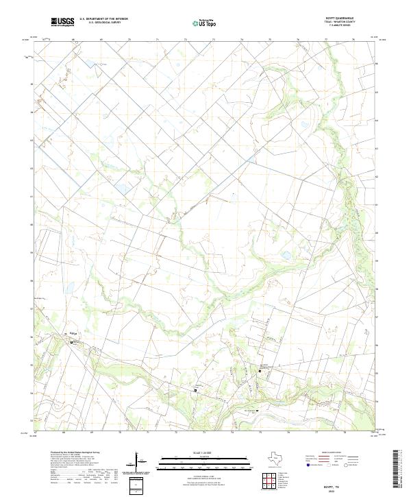
2022 Egypt
Wharton County, TX
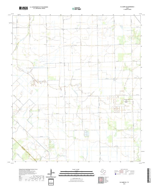
2022 El Campo SE
Wharton County, TX
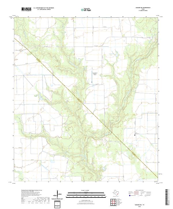
2022 Ganado NE
Wharton County, TX
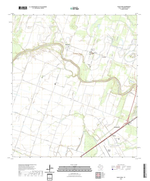
2022 Glen Flora
Wharton County, TX
2022 Gobbler Creek
Wharton County, TX
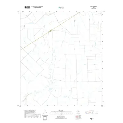
2022 Hahn
Wharton County, TX
2022 Lane City
Wharton County, TX
2022 Lissie
Wharton County, TX
2022 New Taiton
Wharton County, TX
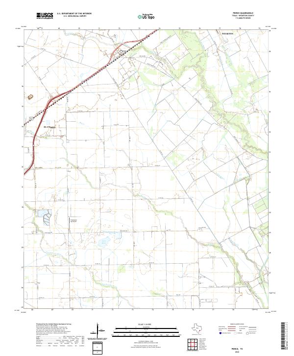
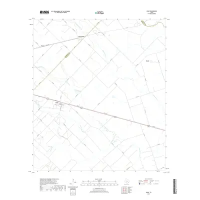
2022 Pierce
Wharton County, TX
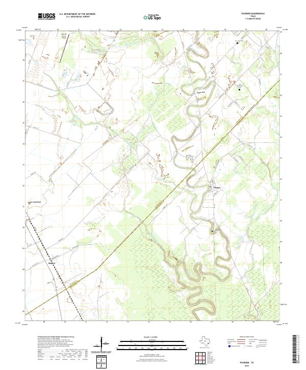
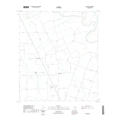
2022 Pledger
Wharton County, TX