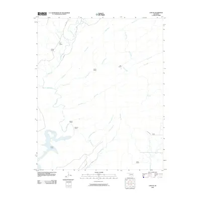
2010 Map of Lane NE
USGS Topo · Published 2010About this map
McGee Creek and its many winding tributaries define this Oklahoma landscape, which shows a region heavily shaped by its complex hydrology and drainage patterns. The southeastern portion of the map is anchored by Impson Church, a lonely landmark in a territory otherwise dominated by natural features. The rugged character of the area is evident in the descriptive naming of its topography, from the sharp descent of Wildcat Canyon and Bugaboo Canyon to the numerous secluded basins like Whisky Hollow and Grassy Hollow.
Find a feature on this map
23 named features on this map. Tap any name to fly to it.
Don’t see what you’re looking for? This feature index may not catch every label — zoom into the map to look around manually.
Map Details
Editions of this 2010 Lane NE Map
This is the sole edition of this map. No revisions or reprints were ever made.
Other maps of this area

1898 · McAlester
USGS Topo · 1:125,000

1901 · Antlers
USGS Topo · 1:125,000

1909 · Mc Alester
USGS Topo · 1:125,000

1912 · Antlers
USGS Topo · 1:125,000

1925 · Antlers
USGS Topo · 1:125,000

1950 · Mcalester
USGS Topo · 1:250,000

1957 · Lane NW
USGS Topo · 1:24,000

1957 · Farris
USGS Topo · 1:24,000

1957 · Moyers
USGS Topo · 1:24,000

1957 · Jumbo
USGS Topo · 1:24,000