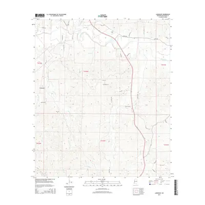
2015 Map of Laneheart
USGS Topo · Published 2015About this map
The Buffalo River carves through this portion of Wilkinson County, dictating the settlement patterns and road networks that define Laneheart. This landscape is primarily rural, with small burial grounds like Pioneer Cem and Westberry Cem providing essential anchors for genealogical research. The terrain is marked by numerous watercourses, including Little Beaver Cr and Fords Creek, which drain into the larger river system.
Find a feature on this map
45 named features on this map. Tap any name to fly to it.
Don’t see what you’re looking for? This feature index may not catch every label — zoom into the map to look around manually.
Map Details
Editions of this 2015 Laneheart Map
This is the sole edition of this map. No revisions or reprints were ever made.
Other maps of this area

1936 · Woodville
USGS Topo · 1:62,500

1939 · Kingston
USGS Topo · 1:62,500

1953 · Natchez
USGS Topo · 1:250,000

1956 · Natchez
USGS Topo · 1:250,000

1958 · Woodville
USGS Topo · 1:62,500

1958 · Kingston
USGS Topo · 1:62,500

1959 · Natchez
USGS Topo · 1:250,000

1961 · Crosby
USGS Topo · 1:62,500

1961 · Gloster
USGS Topo · 1:62,500

1984 · Woodville
USGS Topo · 1:100,000