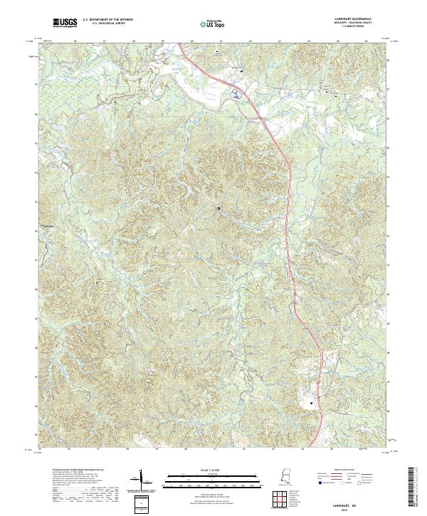
2024 Map of Laneheart
USGS Topo · Published 2024About this map
The Buffalo River meanders across this rural landscape in Wilkinson County, creating complex hydrological features like Horseshoe Lake and receiving numerous tributaries including Steels Creek and Mill Creek. This terrain is characterized by a sparse settlement pattern centered on the small community of Laneheart, with the rest of the area defined by large tracts of land divided by township and range lines.
Find a feature on this map
44 named features on this map. Tap any name to fly to it.
Don’t see what you’re looking for? This feature index may not catch every label — zoom into the map to look around manually.
Map Details
Editions of this 2024 Laneheart Map
This is the sole edition of this map. No revisions or reprints were ever made.
Other maps of this area

1936 · Woodville
USGS Topo · 1:62,500

1939 · Kingston
USGS Topo · 1:62,500

1953 · Natchez
USGS Topo · 1:250,000

1956 · Natchez
USGS Topo · 1:250,000

1958 · Woodville
USGS Topo · 1:62,500

1958 · Kingston
USGS Topo · 1:62,500

1959 · Natchez
USGS Topo · 1:250,000

1961 · Crosby
USGS Topo · 1:62,500

1961 · Gloster
USGS Topo · 1:62,500

1984 · Woodville
USGS Topo · 1:100,000