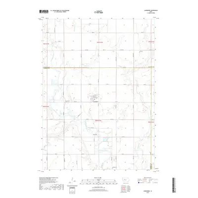
2018 Map of Lanesboro
USGS Topo · Published 2018About this map
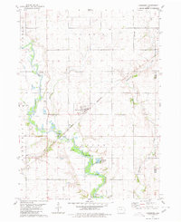
Lanesboro serves as the central hub for this portion of rural Carroll County, characterized by a structured grid of section roads and several notable waterways. The North Raccoon River winds through the southwestern quadrant, joined by smaller tributaries like Buck Run and Marrowbone Cr, while Purgatory Cr defines the landscape to the east. This 2018 survey reveals a terrain deeply shaped by agriculture and local history, as evidenced by the preservation of Lanesboro Cem, Bishop Cem, and Salisbury Cem across the township lines. The mapping includes specific street details within the settlement, such as Heitland St and McClue St, and marks the Vador Bridge crossing the river, indicating longstanding infrastructure connecting the local farming community.
Find a feature on this map
53 named features on this map. Tap any name to fly to it.
Don’t see what you’re looking for? This feature index may not catch every label — zoom into the map to look around manually.
Map Details
Editions of this 2018 Lanesboro Map
This is the sole edition of this map. No revisions or reprints were ever made.
Other maps of this area

1954 · Fort Dodge
USGS Topo · 1:250,000

1957 · Fort Dodge
USGS Topo · 1:250,000

1958 · Fort Dodge
USGS Topo · 1:250,000
1980 · Glidden
USGS Topo · 1:24,000

1980 · Carroll NE
USGS Topo · 1:24,000

1980 · Yetter
USGS Topo · 1:24,000

1980 · Wightman
USGS Topo · 1:24,000
1980 · Carroll East
USGS Topo · 1:24,000
1980 · Scranton
USGS Topo · 1:24,000
1980 · Lanesboro
USGS Topo · 1:24,000