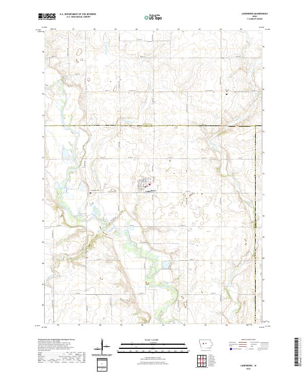
2022 Map of Lanesboro
USGS Topo · Published 2022About this map
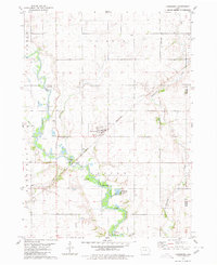
Lanesboro serves as the central hub of this agricultural landscape at the border of Calhoun and Carroll counties. The town is situated on a grid of streets including McClue St and Johnson St, positioned just north of where Marrowbone Cr joins the meandering path of the North Raccoon River. The surrounding prairie is defined by a dense network of county roads like Co Hwy N47 and Co Rd E13, which connect the scattered farmsteads of the region.
Find a feature on this map
54 named features on this map. Tap any name to fly to it.
Don’t see what you’re looking for? This feature index may not catch every label — zoom into the map to look around manually.
Map Details
Editions of this 2022 Lanesboro Map
This is the sole edition of this map. No revisions or reprints were ever made.
Other maps of this area

1954 · Fort Dodge
USGS Topo · 1:250,000

1957 · Fort Dodge
USGS Topo · 1:250,000

1958 · Fort Dodge
USGS Topo · 1:250,000
1980 · Glidden
USGS Topo · 1:24,000

1980 · Carroll NE
USGS Topo · 1:24,000

1980 · Yetter
USGS Topo · 1:24,000

1980 · Wightman
USGS Topo · 1:24,000
1980 · Carroll East
USGS Topo · 1:24,000
1980 · Scranton
USGS Topo · 1:24,000
1980 · Lanesboro
USGS Topo · 1:24,000