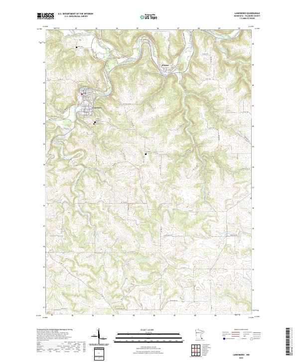
2022 Map of Lanesboro
USGS Topo · Published 2022About this map
Lanesboro and Whalan anchor this study of Fillmore County's Driftless Area, where the Root River and its South Branch Root River carve deep valleys through the limestone plateau. The map traces the intricate drainage network of Duschee Cr, Diamond Cr, and Gribben Cr, highlighting how the local topography has dictated settlement and transport. Genealogists will find significant local records in the numerous burial grounds documented here, including Saint Patricks Cem, Bell Cem, Holt Cem, and the primary Lanesboro Cem. Modern recreational use is visible in the Root River State Trl, which follows the historic rail corridor along the river bends. The landscape is a mix of high-ridge farming and steep, wooded bluffs, reflecting the traditional agricultural patterns of southeastern Minnesota.
Find a feature on this map
71 named features on this map. Tap any name to fly to it.
Don’t see what you’re looking for? This feature index may not catch every label — zoom into the map to look around manually.
Map Details
Editions of this 2022 Lanesboro Map
This is the sole edition of this map. No revisions or reprints were ever made.
Other maps of this area

1954 · Chatfield
USGS Topo · 1:62,500

1954 · Lewiston
USGS Topo · 1:62,500

1954 · Mason City
USGS Topo · 1:250,000

1957 · Mason City
USGS Topo · 1:250,000

1958 · Mason City
USGS Topo · 1:250,000

1958 · La Crosse
USGS Topo · 1:250,000

1961 · La Crosse
USGS Topo · 1:250,000

1965 · La Crosse
USGS Topo · 1:250,000

1965 · Harmony
USGS Topo · 1:24,000

1965 · Mabel
USGS Topo · 1:24,000