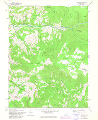
1969 Map of Laneville
USGS Topo · Published 1982About this map
Laneville and the winding course of Red Creek anchor this high-altitude landscape in the late 1960s, a period when local infrastructure intersected with newly established conservation areas. The map details the transition between working timberlands and protected spaces like the Dolly Sods Wilderness and Canaan Valley State Park. For genealogists and local historians, specific landmarks such as the Flanagan Memorial Cem, Welford Ch, and Bethel Ch provide physical links to the families who settled this high country.
Find a feature on this map
46 named features on this map. Tap any name to fly to it.
Don’t see what you’re looking for? This feature index may not catch every label — zoom into the map to look around manually.
Map Details
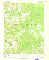
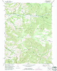
Editions of this 1969 Laneville Map
3 editions found
Other maps of this area

1886 · St. George
USGS Topo · 1:125,000

1889 · Beverly
USGS Topo · 1:125,000

1891 · St. George
USGS Topo · 1:125,000

1892 · Beverly
USGS Topo · 1:125,000

1892 · Franklin
USGS Topo · 1:125,000

1895 · Piedmont
USGS Topo · 1:125,000

1896 · Franklin
USGS Topo · 1:125,000

1908 · Parsons
USGS Topo · 1:62,500

1916 · Davis
USGS Topo · 1:48,000

1918 · Davis
USGS Topo · 1:62,500