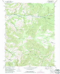
1969 Map of Laneville
USGS Topo · Published 1988About this map
Laneville and Canaan Crossing sit within the high-elevation reach of the Allegheny Front, marking a landscape where the Monongahela National Forest meets the distinct high plateau of the Dolly Sods Wilderness. The map reveals a remote network of trails and jeep paths crossing drainage divides, such as those near Mt Porte Crayon and Haystack Knob. Settled life is concentrated along the banks of Red Creek, where the community of Wolford and the Wolford Ch are established. Local history is grounded in sites like the Flanagan Memorial Cem and Bethel Ch, while the surrounding terrain is defined by dramatic elevations like Pointy Knob and Weiss Knob. The presence of a pipeline corridor cutting through the Flatrock Plains indicates the reach of infrastructure through this wilderness area at the end of the 1960s.
Find a feature on this map
49 named features on this map. Tap any name to fly to it.
Don’t see what you’re looking for? This feature index may not catch every label — zoom into the map to look around manually.
Map Details
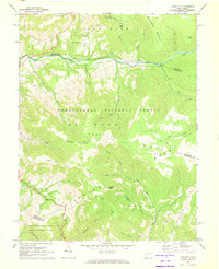
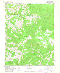
Editions of this 1969 Laneville Map
3 editions found
Other maps of this area

1886 · St. George
USGS Topo · 1:125,000

1889 · Beverly
USGS Topo · 1:125,000

1891 · St. George
USGS Topo · 1:125,000

1892 · Beverly
USGS Topo · 1:125,000

1892 · Franklin
USGS Topo · 1:125,000

1895 · Piedmont
USGS Topo · 1:125,000

1896 · Franklin
USGS Topo · 1:125,000

1908 · Parsons
USGS Topo · 1:62,500

1916 · Davis
USGS Topo · 1:48,000

1918 · Davis
USGS Topo · 1:62,500