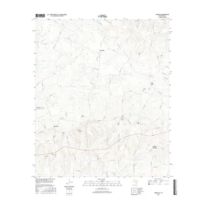
2016 Map of Laneville
USGS Topo · Published 2016About this map
Laneville serves as the central hub for this corner of Rusk County, sitting at the junction of several farm-to-market roads. The landscape is defined by the high ground of the Elkins Mountains and Sirls Mtn, which overlook a network of creek branches and small lakes including Cushman Lake and Riddle Lakes. For researchers of family history, the map is particularly dense with small burial grounds, ranging from the Jones-Seagroves Cemetery near Glenfawn to the Lyles-Sanders Cemetery further east.
Find a feature on this map
100 named features on this map. Tap any name to fly to it.
Don’t see what you’re looking for? This feature index may not catch every label — zoom into the map to look around manually.
Map Details
Editions of this 2016 Laneville Map
This is the sole edition of this map. No revisions or reprints were ever made.
Other maps of this area

1935 · Henderson
USGS Topo · 1:48,000

1939 · Henderson
USGS Topo · 1:62,500

1943 · Cushing
USGS Topo · 1:62,500

1945 · Cushing
USGS Topo · 1:62,500

1953 · Palestine
USGS Topo · 1:250,000

1956 · Tyler
USGS Topo · 1:250,000

1957 · Palestine
USGS Topo · 1:250,000

1960 · Minden
USGS Topo · 1:62,500

1960 · Mount Enterprise
USGS Topo · 1:62,500

1973 · Cushing
USGS Topo · 1:24,000