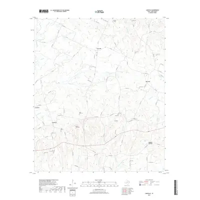
2019 Map of Laneville
USGS Topo · Published 2019About this map
Laneville and the surrounding Rusk County countryside appear as a network of rural settlements and family landmarks in this contemporary topographic survey. The landscape is defined by the Angelina River and its numerous tributaries, such as Buckner Cr and Chinquapin Cr, which carve through the terrain surrounding Elkins Mountains and Sirls Mtn. For genealogists and local historians, the high density of small family burial grounds is particularly significant, with sites like Gage Cem, McCune Cem, and Lyles- Sanders Cem preserved across the township. The map also documents the transition of earlier communities at Oak Flats, Anadarko, and Glenfawn, where church-affiliated cemeteries like Shiloh Cem and Glenfawn Cem serve as enduring anchors for these dispersed rural neighborhoods.
Find a feature on this map
96 named features on this map. Tap any name to fly to it.
Don’t see what you’re looking for? This feature index may not catch every label — zoom into the map to look around manually.
Map Details
Editions of this 2019 Laneville Map
This is the sole edition of this map. No revisions or reprints were ever made.
Other maps of this area

1935 · Henderson
USGS Topo · 1:48,000

1939 · Henderson
USGS Topo · 1:62,500

1943 · Cushing
USGS Topo · 1:62,500

1945 · Cushing
USGS Topo · 1:62,500

1953 · Palestine
USGS Topo · 1:250,000

1956 · Tyler
USGS Topo · 1:250,000

1957 · Palestine
USGS Topo · 1:250,000

1960 · Minden
USGS Topo · 1:62,500

1960 · Mount Enterprise
USGS Topo · 1:62,500

1973 · Cushing
USGS Topo · 1:24,000