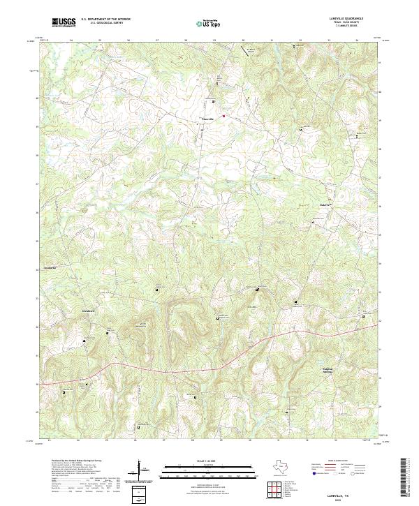
2022 Map of Laneville
USGS Topo · Published 2022About this map
Laneville serves as the central hub of this East Texas landscape, where a dense network of family cemeteries and small rural settlements defines the community's historical footprint. The terrain is notably marked by the Elkins Mountains and Sirls Mtn, which rise above the surrounding creek drainages of Anadarko Cr and Buckner Cr. For genealogists, the map is a primary source for locating resting places such as the Old Bethel Cem, Mount Zion Baptist Cem, and the Lyles - Sanders Cem.
Find a feature on this map
53 named features on this map. Tap any name to fly to it.
Don’t see what you’re looking for? This feature index may not catch every label — zoom into the map to look around manually.
Map Details
Editions of this 2022 Laneville Map
This is the sole edition of this map. No revisions or reprints were ever made.
Other maps of this area

1935 · Henderson
USGS Topo · 1:48,000

1939 · Henderson
USGS Topo · 1:62,500

1943 · Cushing
USGS Topo · 1:62,500

1945 · Cushing
USGS Topo · 1:62,500

1953 · Palestine
USGS Topo · 1:250,000

1956 · Tyler
USGS Topo · 1:250,000

1957 · Palestine
USGS Topo · 1:250,000

1960 · Minden
USGS Topo · 1:62,500

1960 · Mount Enterprise
USGS Topo · 1:62,500

1973 · Cushing
USGS Topo · 1:24,000