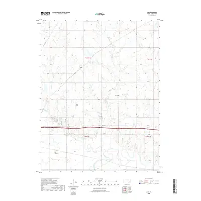
2018 Map of Lang
USGS Topo · Published 2018About this map
The Neosho River and Cottonwood River converge in this section of Lyon County, creating a landscape defined by the winding paths of several significant watercourses. The small settlement of Lang sits along the northern edge of the survey, while the surrounding rural landscape is dotted with ancestral landmarks. Local history is anchored by several burial sites, including Union Cem, Hunter Cem, Badger Creek Cem, and Fowler Cem, each marking the generational roots of the area's farming families. Transport and recreation are represented by the presence of Sickler Airstrip and Camp Alexander, illustrating the mixture of private aviation and community space in the modern era. The intricate network of drainage, including Plumb Cr and Badger Cr, highlights the importance of the river bottomlands to the local geography.
Find a feature on this map
47 named features on this map. Tap any name to fly to it.
Don’t see what you’re looking for? This feature index may not catch every label — zoom into the map to look around manually.
Map Details
Editions of this 2018 Lang Map
This is the sole edition of this map. No revisions or reprints were ever made.
Other maps of this area

1885 · Eskridge
USGS Topo · 1:125,000

1885 · Burlington
USGS Topo · 1:125,000

1888 · Emporia
USGS Topo · 1:125,000

1889 · Burlingame
USGS Topo · 1:125,000

1889 · Eskridge
USGS Topo · 1:125,000

1894 · Emporia
USGS Topo · 1:125,000

1894 · Eskridge
USGS Topo · 1:125,000

1894 · Burlingame
USGS Topo · 1:125,000

1894 · Burlington
USGS Topo · 1:125,000

1947 · Lawrence
USGS Topo · 1:250,000