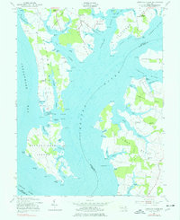
1954 Map of Langford Creek
USGS Topo · Published 1977About this map
Langford Creek and the Chester River dominate this coastal survey, where the intricate geography of the Eastern Shore's tidal inlets is on full display. The landscape is defined by its numerous necks and bights, such as Spaniard Neck and Comegys Bight, which dictate the local maritime and agricultural patterns of the mid-1950s. Small settlements like McKinleyville and Crosby serve as inland anchors, while Cliffs Wharf and Earle Landing highlight the region's historical reliance on waterborne transport and trade.
Find a feature on this map
101 named features on this map. Tap any name to fly to it.
Don’t see what you’re looking for? This feature index may not catch every label — zoom into the map to look around manually.
Map Details
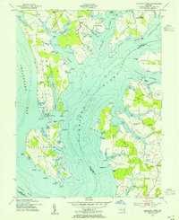
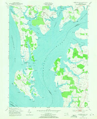
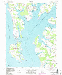
Editions of this 1954 Langford Creek Map
4 editions found
Other maps of this area

1892 · Annapolis
USGS Topo · 1:62,500

1893 · North Point
USGS Topo · 1:62,500

1898 · Choptank
USGS Topo · 1:125,000

1898 · Tolchester
USGS Topo · 1:125,000

1901 · Chestertown
USGS Topo · 1:62,500

1903 · Tolchester
USGS Topo · 1:125,000

1904 · St. Michaels
USGS Topo · 1:62,500

1904 · North Point
USGS Topo · 1:62,500

1904 · Annapolis
USGS Topo · 1:62,500

1908 · Tolchester
USGS Topo · 1:125,000