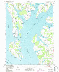
1954 Map of Langford Creek
USGS Topo · Published 1986About this map
The complex shoreline of the Chester River and Chesapeake Bay defines this mid-century survey of Kent and Queen Anne's Counties. At its heart lies the Eastern Neck National Wildlife Refuge, established on Eastern Neck Island, where the landscape is a patchwork of tidal coves like Calfpasture Cove and Fryingpan Cove. The map documents a maritime-dependent community where small settlements such as McKinleyville, Crosby, and Hickory Thicket are linked by rural roads and landings.
Find a feature on this map
99 named features on this map. Tap any name to fly to it.
Don’t see what you’re looking for? This feature index may not catch every label — zoom into the map to look around manually.
Map Details
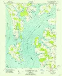
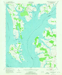
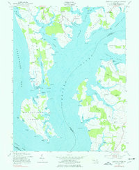
Editions of this 1954 Langford Creek Map
4 editions found
Other maps of this area

1892 · Annapolis
USGS Topo · 1:62,500

1893 · North Point
USGS Topo · 1:62,500

1898 · Choptank
USGS Topo · 1:125,000

1898 · Tolchester
USGS Topo · 1:125,000

1901 · Chestertown
USGS Topo · 1:62,500

1903 · Tolchester
USGS Topo · 1:125,000

1904 · St. Michaels
USGS Topo · 1:62,500

1904 · North Point
USGS Topo · 1:62,500

1904 · Annapolis
USGS Topo · 1:62,500

1908 · Tolchester
USGS Topo · 1:125,000