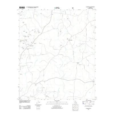
1986 Map of Langston
USGS Topo · Published 1986About this map
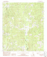
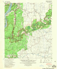
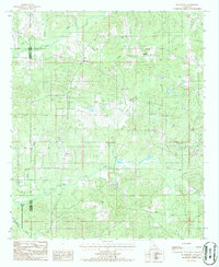
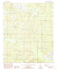
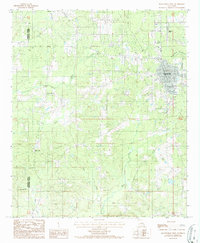
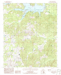
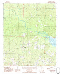
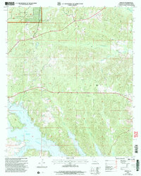
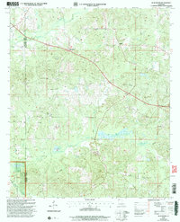
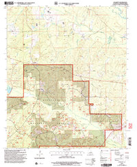
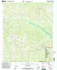
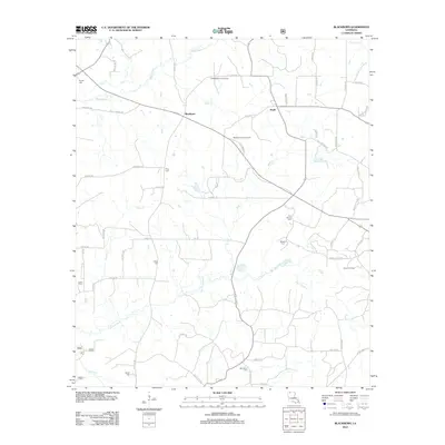
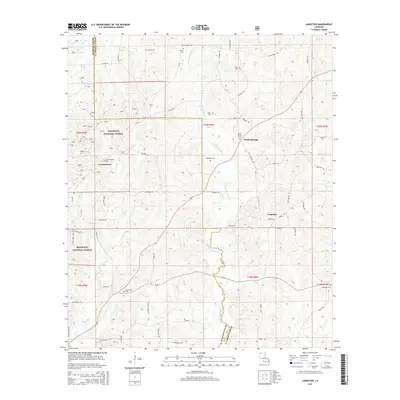
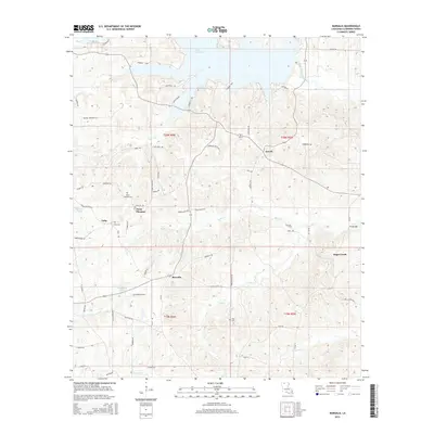
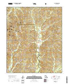
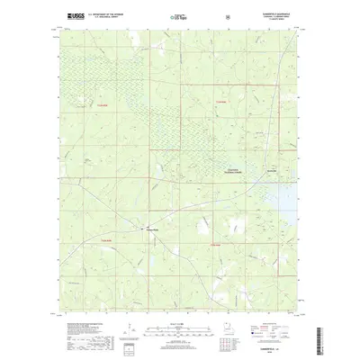
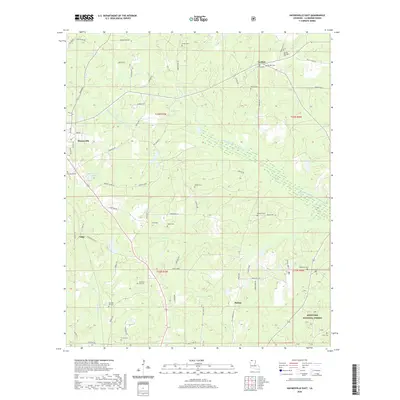
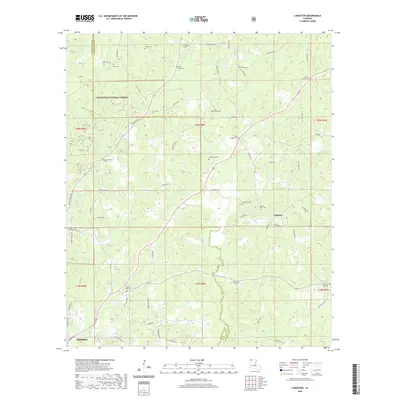
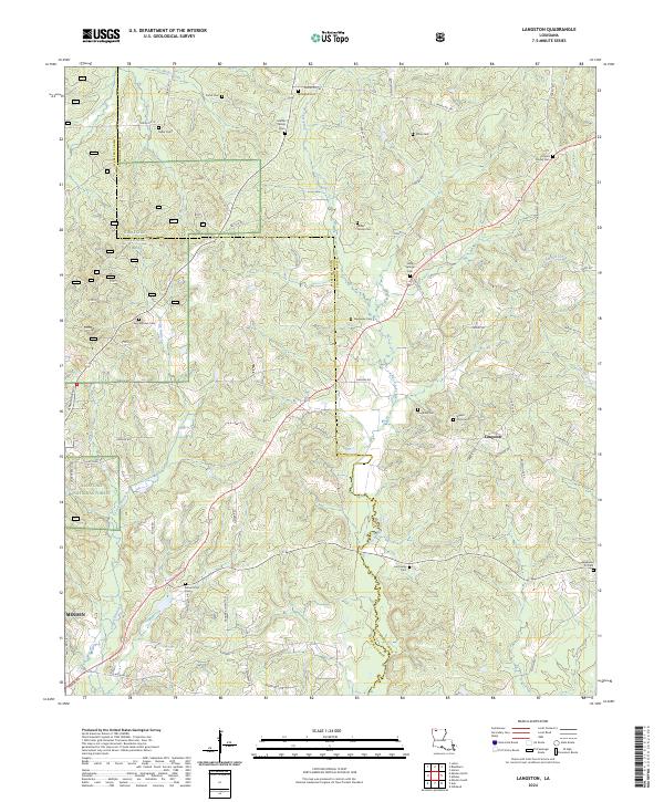
Kisatchie National Forest dominates the western portion of this landscape, where the rugged topography of north Louisiana is marked by a network of seasonal drainages and creek beds. The area is defined by the winding course of Black Lake Bayou, which features an indefinite boundary through low-lying marshy terrain. Small communities like Langston and Holly Springs are positioned along the ridge lines above the bayou, while Germantown sits further west near the forest boundary. The map shows the land use of the mid-1980s, revealing a mix of timber management and small-scale industry, evidenced by a Gravel Pit and several small Cem sites. The border between Webster Parish and Claiborne Parish cuts through the northwest, following the path of Butler Creek. This survey provides a detailed look at the rural road network and water drainage patterns before significant modern development altered the local topography.
Find a feature on this map
14 named features on this map. Tap any name to fly to it.
Don’t see what you’re looking for? This feature index may not catch every label — zoom into the map to look around manually.
Map Details
Editions of this 1986 Langston Map
This is the sole edition of this map. No revisions or reprints were ever made.
Historical Maps of Minden Through Time
56 maps found
1939 Yokena
Claiborne Parish, LA
1951 Summerfield
Claiborne Parish, LA
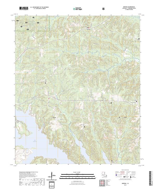
1986 Arizona
Claiborne Parish, LA
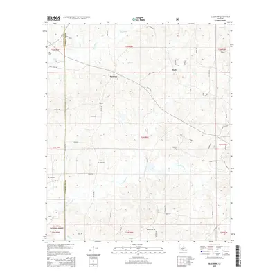
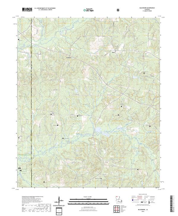
1986 Blackburn
Claiborne Parish, LA
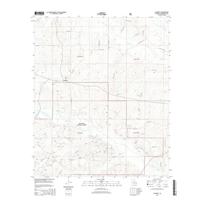
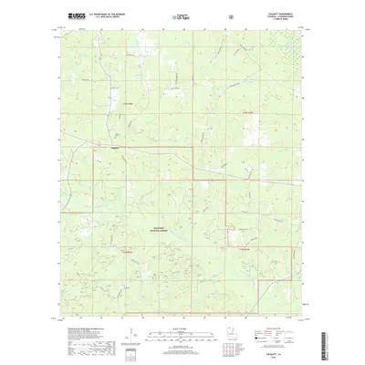
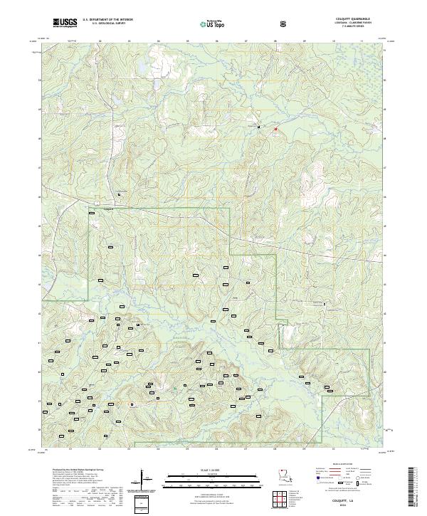
1986 Colquitt
Claiborne Parish, LA

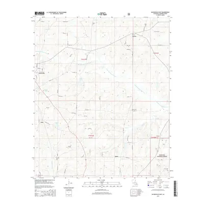
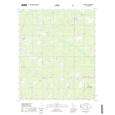
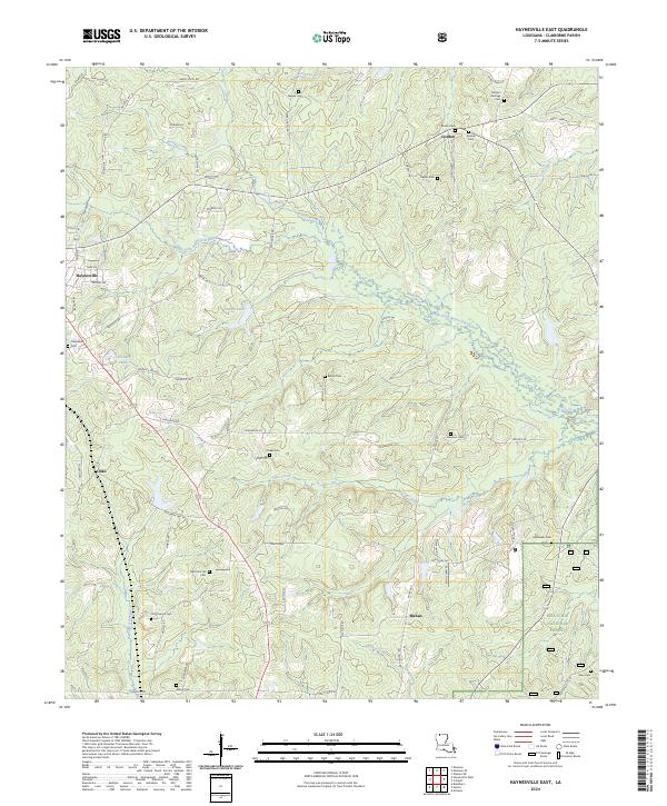
1986 Haynesville East
Claiborne Parish, LA
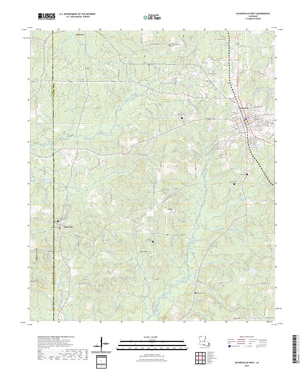
1986 Haynesville West
Claiborne Parish, LA
1986 Langston
Claiborne Parish, LA
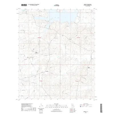
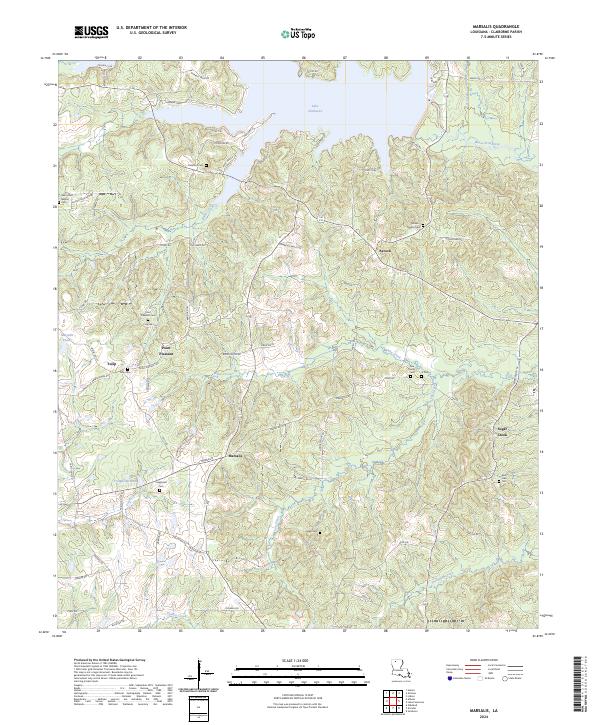
1986 Marsalis
Claiborne Parish, LA
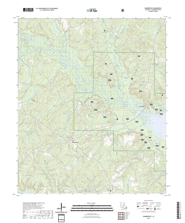
1986 Summerfield
Claiborne Parish, LA
2003 Arizona
Claiborne Parish, LA
2003 Blackburn
Claiborne Parish, LA
2003 Colquitt
Claiborne Parish, LA
2003 Haynesville East
Claiborne Parish, LA
2003 Langston
Claiborne Parish, LA
2003 Summerfield
Claiborne Parish, LA
2012 Arizona
Claiborne Parish, LA
2012 Blackburn
Claiborne Parish, LA
2012 Colquitt
Claiborne Parish, LA
2012 Haynesville East
Claiborne Parish, LA
2012 Haynesville West
Claiborne Parish, LA
2012 Langston
Claiborne Parish, LA
2012 Marsalis
Claiborne Parish, LA
2012 Summerfield
Claiborne Parish, LA
2015 Arizona
Claiborne Parish, LA
2015 Blackburn
Claiborne Parish, LA
2015 Colquitt
Claiborne Parish, LA
2015 Haynesville East
Claiborne Parish, LA

2015 Haynesville West
Claiborne Parish, LA
2015 Langston
Claiborne Parish, LA
2015 Marsalis
Claiborne Parish, LA
2015 Summerfield
Claiborne Parish, LA
2018 Arizona
Claiborne Parish, LA
2018 Blackburn
Claiborne Parish, LA
2018 Colquitt
Claiborne Parish, LA
2018 Haynesville East
Claiborne Parish, LA

2018 Haynesville West
Claiborne Parish, LA
2018 Langston
Claiborne Parish, LA
2018 Marsalis
Claiborne Parish, LA
2018 Summerfield
Claiborne Parish, LA
2020 Arizona
Claiborne Parish, LA
2020 Blackburn
Claiborne Parish, LA
2020 Colquitt
Claiborne Parish, LA
2020 Haynesville East
Claiborne Parish, LA

2020 Haynesville West
Claiborne Parish, LA
2020 Langston
Claiborne Parish, LA
2020 Marsalis
Claiborne Parish, LA
2020 Summerfield
Claiborne Parish, LA
2024 Arizona
Claiborne Parish, LA
2024 Blackburn
Claiborne Parish, LA
2024 Colquitt
Claiborne Parish, LA
2024 Haynesville East
Claiborne Parish, LA
2024 Haynesville West
Claiborne Parish, LA
2024 Langston
Claiborne Parish, LA
2024 Marsalis
Claiborne Parish, LA
2024 Summerfield
Claiborne Parish, LA