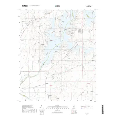
2020 Map of Laniers
USGS Topo · Published 2020About this map
Logan Martin Lake and the Coosa River dominate this landscape on the border of St. Clair, Talladega, and Shelby Counties. The flooded topography of the mid-20th century reservoir is punctuated by numerous named landforms such as Treasure Island, Merkl Island, and Grissom Island, while higher elevations like Norman Mtn and Allen Mtn overlook the winding shoreline. The map reveals the historical transport patterns of the region, including the paths of Glovers Ferry Rd and Grissom Ferry Rd, which speak to the river-crossing points that existed before the valley was inundated.
Find a feature on this map
137 named features on this map. Tap any name to fly to it.
Don’t see what you’re looking for? This feature index may not catch every label — zoom into the map to look around manually.
Map Details
Editions of this 2020 Laniers Map
This is the sole edition of this map. No revisions or reprints were ever made.
Other maps of this area

1889 · Springville
USGS Topo · 1:125,000

1890 · Talladega
USGS Topo · 1:125,000

1892 · Springville
USGS Topo · 1:125,000

1892 · Talladega
USGS Topo · 1:125,000

1943 · Talladega
USGS Topo · 1:62,500

1946 · Talladega
USGS Topo · 1:62,500

1947 · Ragland
USGS Topo · 1:62,500

1947 · Riverside
USGS Topo · 1:24,000

1951 · Vincent
USGS Topo · 1:24,000

1951 · Laniers
USGS Topo · 1:24,000