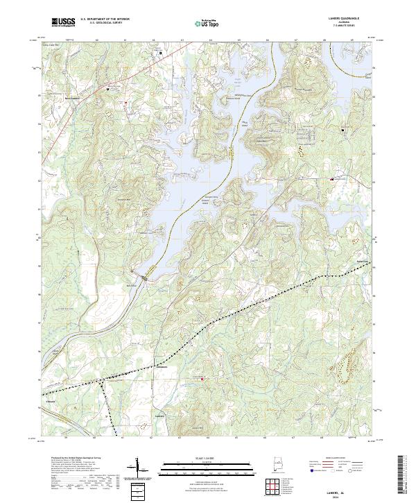
2024 Map of Laniers
USGS Topo · Published 2024About this map
The Coosa River corridor and the expansive waters of Logan Martin Lake dominate this landscape, illustrating the modern hydrography of the Alabama river system. The map details a complex network of islands and peninsulas, including Treasure Island, Merkel Island, and Grissom Island, which were formed by the inundation of the valley. Small settlements such as Laniers, New London, and Saint Ives sit along the rolling terrain near the banks, connected by rural routes like Old Coosa Valley Rd.
Find a feature on this map
148 named features on this map. Tap any name to fly to it.
Don’t see what you’re looking for? This feature index may not catch every label — zoom into the map to look around manually.
Map Details
Editions of this 2024 Laniers Map
This is the sole edition of this map. No revisions or reprints were ever made.
Other maps of this area

1889 · Springville
USGS Topo · 1:125,000

1890 · Talladega
USGS Topo · 1:125,000

1892 · Springville
USGS Topo · 1:125,000

1892 · Talladega
USGS Topo · 1:125,000

1943 · Talladega
USGS Topo · 1:62,500

1946 · Talladega
USGS Topo · 1:62,500

1947 · Ragland
USGS Topo · 1:62,500

1947 · Riverside
USGS Topo · 1:24,000

1951 · Vincent
USGS Topo · 1:24,000

1951 · Laniers
USGS Topo · 1:24,000