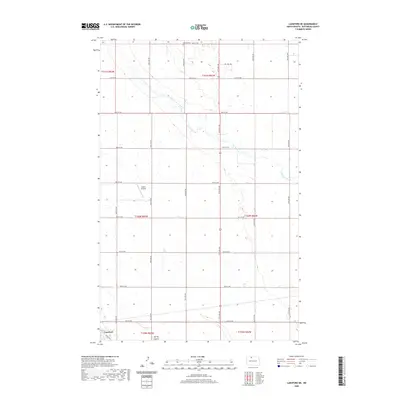
2020 Map of Lansford NE
USGS Topo · Published 2020About this map
Lansford sits at the southwestern edge of this North Dakota landscape, where the prairie is defined by a rhythmic grid of rural roads and the winding path of Cut Bank Creek. The creek meanders southeast across the township lines, joined by the drainage of Spring Coulee in the southern sections. This modern digital survey shows the quiet intersection of agricultural life and small-scale infrastructure, from the private Undlin Airstrip to the remote Renville Cem located north of 91st St NW. The map illustrates how the land is organized into large sections, with a naming convention for thoroughfares like Oil Well Rd that reflects the regional industrial character. While primarily open country, the detailed topography reveals the subtle elevation changes that guide water toward the creek beds in an otherwise flat expanse of Bottineau County.
Find a feature on this map
25 named features on this map. Tap any name to fly to it.
Don’t see what you’re looking for? This feature index may not catch every label — zoom into the map to look around manually.
Map Details
Editions of this 2020 Lansford NE Map
This is the sole edition of this map. No revisions or reprints were ever made.
Other maps of this area

1948 · Dokken SW
USGS Topo · 1:24,000

1948 · Lansford
USGS Topo · 1:62,500

1948 · Lansford SW
USGS Topo · 1:24,000

1949 · Glenburn
USGS Topo · 1:24,000

1949 · Lansford NW
USGS Topo · 1:24,000

1949 · Lansford SW
USGS Topo · 1:24,000

1949 · Lansford SE
USGS Topo · 1:24,000

1949 · Lansford NE
USGS Topo · 1:24,000

1949 · Maxbass
USGS Topo · 1:24,000

1949 · Westhope SW
USGS Topo · 1:24,000