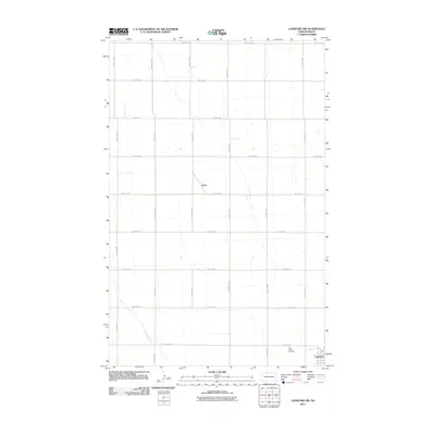
2011 Map of Lansford NW
USGS Topo · Published 2011About this map
The settlement of Truro and the outskirts of Lansford define this section of the North Dakota plains, characterized by a meticulous grid of rural roads and the winding path of Little Deep Creek. The landscape reflects a highly organized agricultural layout where section lines are strictly followed by routes such as 35th Ave NW and 88th St NW. In the southeastern corner, Saint Johns Cemetery stands as a focal point for local history and genealogy, situated just north of the residential cluster of Lansford. This 2011 survey captures the area’s enduring rural character, where the intersection of north-south avenues and east-west streets creates a repetitive geometry across the prairie, interrupted only by the natural drainage of the creek as it moves toward the southeast.
Find a feature on this map
20 named features on this map. Tap any name to fly to it.
Don’t see what you’re looking for? This feature index may not catch every label — zoom into the map to look around manually.
Map Details
Editions of this 2011 Lansford NW Map
This is the sole edition of this map. No revisions or reprints were ever made.
Other maps of this area

1948 · Dokken SW
USGS Topo · 1:24,000

1948 · Mohall
USGS Topo · 1:24,000

1948 · Lansford
USGS Topo · 1:62,500

1948 · Lansford SW
USGS Topo · 1:24,000

1949 · Lansford NW
USGS Topo · 1:24,000

1949 · Lansford SW
USGS Topo · 1:24,000

1949 · Grano
USGS Topo · 1:24,000

1949 · Lansford SE
USGS Topo · 1:24,000

1949 · Lansford NE
USGS Topo · 1:24,000

1949 · Grano NE
USGS Topo · 1:24,000