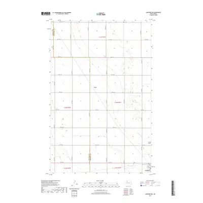
2017 Map of Lansford NW
USGS Topo · Published 2017About this map
Truro and the northern outskirts of Lansford anchor this North Dakota landscape, which straddles the border between Renville and Bottineau counties. The area is defined by a precise section-line road grid, including 92nd St NW and 34th Ave NW, which carve the prairie into agricultural blocks. This 2017 survey reveals a terrain punctuated by small prairie potholes and wetlands, characteristic of the Drift Prairie region.
Find a feature on this map
27 named features on this map. Tap any name to fly to it.
Don’t see what you’re looking for? This feature index may not catch every label — zoom into the map to look around manually.
Map Details
Editions of this 2017 Lansford NW Map
This is the sole edition of this map. No revisions or reprints were ever made.
Other maps of this area

1948 · Dokken SW
USGS Topo · 1:24,000

1948 · Mohall
USGS Topo · 1:24,000

1948 · Lansford
USGS Topo · 1:62,500

1948 · Lansford SW
USGS Topo · 1:24,000

1949 · Lansford NW
USGS Topo · 1:24,000

1949 · Lansford SW
USGS Topo · 1:24,000

1949 · Grano
USGS Topo · 1:24,000

1949 · Lansford SE
USGS Topo · 1:24,000

1949 · Lansford NE
USGS Topo · 1:24,000

1949 · Grano NE
USGS Topo · 1:24,000