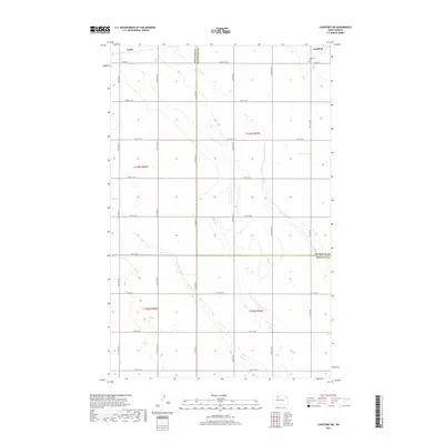
2017 Map of Lansford SW
USGS Topo · Published 2017About this map
Lansford sits at the northeastern corner of this prairie landscape, where the town's early footprint is anchored by the Lansford Cem on its western edge. The area is defined by the meandering courses of Little Deep Cr and Egg Cr, which cut through a strictly ordered grid of section lines and county roads. The boundary between Renville and Bottineau counties bisects the terrain, illustrating the geopolitical divisions imposed on the North Dakota plains. Small rail-side or crossroads locations like Chola appear as humble markers of the region's agricultural settlement pattern. The map reveals how the natural hydrology of the creeks occasionally deviates from the rigid township and range system, creating subtle variations in the otherwise uniform landscape of the High Plains.
Find a feature on this map
28 named features on this map. Tap any name to fly to it.
Don’t see what you’re looking for? This feature index may not catch every label — zoom into the map to look around manually.
Map Details
Editions of this 2017 Lansford SW Map
This is the sole edition of this map. No revisions or reprints were ever made.
Other maps of this area

1948 · Lansford
USGS Topo · 1:62,500

1948 · Burlington
USGS Topo · 1:62,500

1948 · Lansford SW
USGS Topo · 1:24,000

1949 · Burlington NW
USGS Topo · 1:24,000

1949 · Lansford NW
USGS Topo · 1:24,000

1949 · Lansford SW
USGS Topo · 1:24,000

1949 · Carpio NE
USGS Topo · 1:24,000

1949 · Grano
USGS Topo · 1:24,000

1949 · Lansford SE
USGS Topo · 1:24,000

1949 · Lansford NE
USGS Topo · 1:24,000