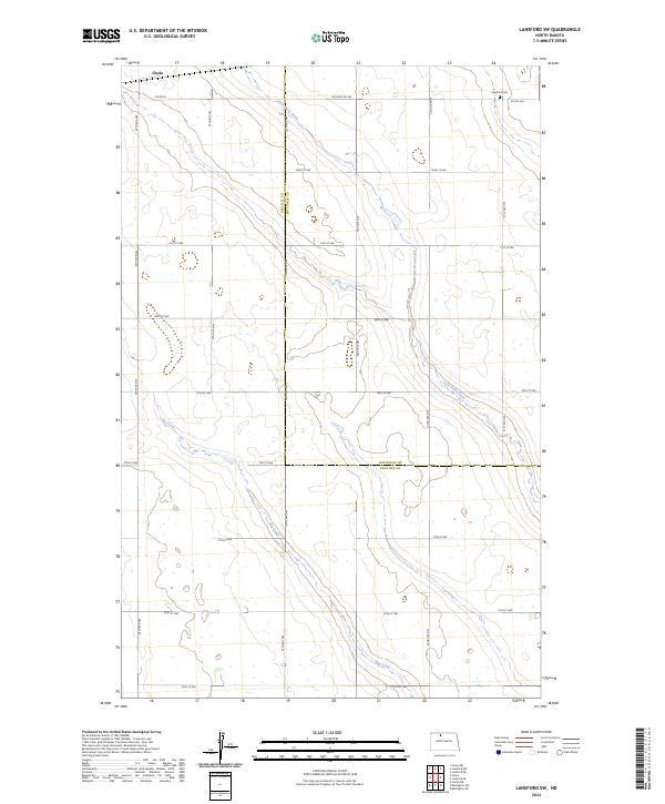
2024 Map of Lansford SW
USGS Topo · Published 2024About this map
Little Deep Creek and Egg Creek meander across this section of the North Dakota prairie, defining the drainage patterns of a landscape meticulously divided by the Public Land Survey System. The map follows the boundary line where Renville County and Bottineau County meet, showing the grid of section lines and gravel roads that organize the region's agricultural life. Near the northern border, the small settlement area of Chola sits along Co Rd 26, while the Lansford Cem provides a specific point of interest for genealogists tracing local families. This survey captures the modern alignment of rural routes such as 82nd St NW and 34th Ave NW, which serve as the primary arteries for this quiet corner of the Great Plains.
Find a feature on this map
27 named features on this map. Tap any name to fly to it.
Don’t see what you’re looking for? This feature index may not catch every label — zoom into the map to look around manually.
Map Details
Editions of this 2024 Lansford SW Map
This is the sole edition of this map. No revisions or reprints were ever made.
Other maps of this area

1948 · Lansford
USGS Topo · 1:62,500

1948 · Burlington
USGS Topo · 1:62,500

1948 · Lansford SW
USGS Topo · 1:24,000

1949 · Burlington NW
USGS Topo · 1:24,000

1949 · Lansford NW
USGS Topo · 1:24,000

1949 · Lansford SW
USGS Topo · 1:24,000

1949 · Carpio NE
USGS Topo · 1:24,000

1949 · Grano
USGS Topo · 1:24,000

1949 · Lansford SE
USGS Topo · 1:24,000

1949 · Lansford NE
USGS Topo · 1:24,000