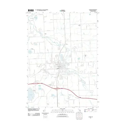
2011 Map of Lapeer
USGS Topo · Published 2011About this map
The South Branch Flint River meanders through this portion of Lapeer County, Michigan, defining the drainage patterns and historical development of the central Lapeer settlement. This early 21st-century record shows a community balancing its established urban core, centered on the Lapeer Post Office, with diverse outlying activity hubs. To the north, the Lapeer International Dragway and Dupont-Lapeer Airport represent the area's modern infrastructure and recreational footprint, while the river's path is dotted with smaller water bodies like McKeen Lake and Rood Lake.
Find a feature on this map
117 named features on this map. Tap any name to fly to it.
Don’t see what you’re looking for? This feature index may not catch every label — zoom into the map to look around manually.
Map Details
Editions of this 2011 Lapeer Map
This is the sole edition of this map. No revisions or reprints were ever made.
Other maps of this area

1943 · Metamora
USGS Topo · 1:24,000

1945 · Thornville
USGS Topo · 1:24,000

1945 · Hadley
USGS Topo · 1:24,000

1946 · Metamora
USGS Topo · 1:24,000

1954 · Detroit
USGS Topo · 1:250,000

1954 · Flint
USGS Topo · 1:250,000

1958 · Flint
USGS Topo · 1:250,000

1961 · Detroit
USGS Topo · 1:250,000

1963 · Attica
USGS Topo · 1:24,000

1963 · North Branch
USGS Topo · 1:24,000