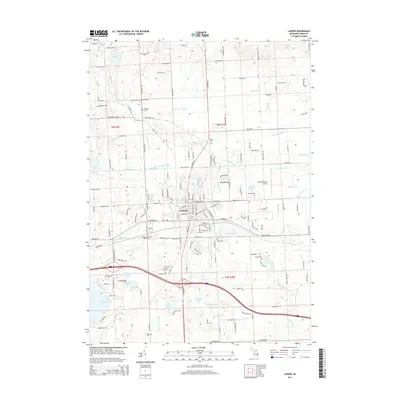
2014 Map of Lapeer
USGS Topo · Published 2014About this map
The city of Lapeer serves as the focal point of this 2014 survey, where the S Br Flint River and Hunters Cr converge within a landscape defined by an extensive network of drainage canals. The presence of the Lapeer State Home and its associated Lapeer State Home Cem provides a significant genealogical reference, marking a major institutional footprint on the western edge of the city.
Find a feature on this map
164 named features on this map. Tap any name to fly to it.
Don’t see what you’re looking for? This feature index may not catch every label — zoom into the map to look around manually.
Map Details
Editions of this 2014 Lapeer Map
This is the sole edition of this map. No revisions or reprints were ever made.
Other maps of this area

1943 · Metamora
USGS Topo · 1:24,000

1945 · Thornville
USGS Topo · 1:24,000

1945 · Hadley
USGS Topo · 1:24,000

1946 · Metamora
USGS Topo · 1:24,000

1954 · Detroit
USGS Topo · 1:250,000

1954 · Flint
USGS Topo · 1:250,000

1958 · Flint
USGS Topo · 1:250,000

1961 · Detroit
USGS Topo · 1:250,000

1963 · Attica
USGS Topo · 1:24,000

1963 · North Branch
USGS Topo · 1:24,000