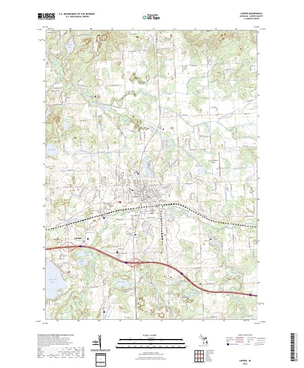
2023 Map of Lapeer
USGS Topo · Published 2023About this map
The South Branch Flint River meanders through this landscape, anchoring the city of Lapeer as it transitions from a traditional county seat into a modern regional hub. Modern infrastructure like the Dupont/Lapeer Airport and the sprawling Lapeer County Complex sits alongside deep-rooted local history, evidenced by a high density of burial grounds including Millville Cem, Stiles Cem, and the Lapeer State Home Cem. Educational and social institutions are well-represented by Mott Community College near the city center.
Find a feature on this map
101 named features on this map. Tap any name to fly to it.
Don’t see what you’re looking for? This feature index may not catch every label — zoom into the map to look around manually.
Map Details
Editions of this 2023 Lapeer Map
This is the sole edition of this map. No revisions or reprints were ever made.
Other maps of this area

1943 · Metamora
USGS Topo · 1:24,000

1945 · Thornville
USGS Topo · 1:24,000

1945 · Hadley
USGS Topo · 1:24,000

1946 · Metamora
USGS Topo · 1:24,000

1954 · Detroit
USGS Topo · 1:250,000

1954 · Flint
USGS Topo · 1:250,000

1958 · Flint
USGS Topo · 1:250,000

1961 · Detroit
USGS Topo · 1:250,000

1963 · Attica
USGS Topo · 1:24,000

1963 · North Branch
USGS Topo · 1:24,000