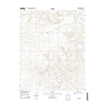
2013 Map of Lapis Point
USGS Topo · Published 2013About this map
Tapicito Creek winds through the high desert terrain of northern New Mexico, carving through the dramatic geography of Las Norias Canyon. This landscape in Rio Arriba County is defined by its prominent landforms, including the high plateau of Wild Horse Mesa and the sharp overlook at Lapis Point. Evidence of the area's grazing history is found at the Apache Bull Pasture and the isolated Las Norias Windmill, which served as a vital water source for livestock in this arid environment. The map details the intricate contour lines of Eagles Nest and the surrounding mesas, revealing a sparsely populated region where infrastructure is limited to primitive routes like J 6.
Find a feature on this map
12 named features on this map. Tap any name to fly to it.
Don’t see what you’re looking for? This feature index may not catch every label — zoom into the map to look around manually.
Map Details
Editions of this 2013 Lapis Point Map
This is the sole edition of this map. No revisions or reprints were ever made.
Other maps of this area

1889 · Largo
USGS Topo · 1:250,000

1895 · Largo
USGS Topo · 1:250,000

1954 · Aztec
USGS Topo · 1:250,000

1958 · Aztec
USGS Topo · 1:250,000

1962 · Aztec
USGS Topo · 1:250,000

1963 · Lapis Point
USGS Topo · 1:24,000

1963 · Schmitz Ranch
USGS Topo · 1:24,000

1963 · Tayfoya Canyon
USGS Topo · 1:24,000

1963 · Gonzales Mesa
USGS Topo · 1:24,000

1963 · Otero Store
USGS Topo · 1:24,000