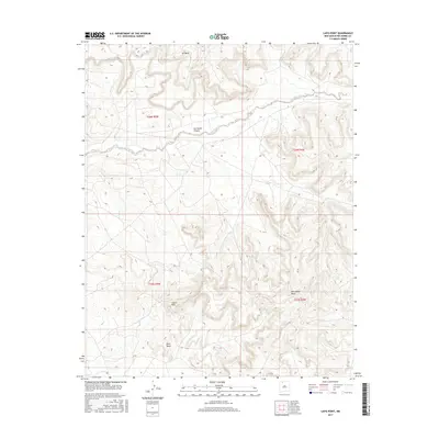
2017 Map of Lapis Point
USGS Topo · Published 2017About this map
Lapis Point and Wild Horse Mesa dominate this high-desert landscape in Rio Arriba County, where the terrain is deeply incised by Tapicito Creek. The map reflects a topography of plateaus and steep drainages, notably seen in the winding course of Las Norias Canyon and the prominent heights of B S Mesa and Eagles Nest. Situated within the Public Land Survey System sections of T25N and T26N, the area is defined by its dramatic elevation changes and sparse modern development. The presence of the J 6 corridor provides a glimpse into the limited transportation network crossing this part of the Colorado Plateau. This survey effectively documents the relationship between the flat-topped mesas and the erosional features that shape the northern New Mexico horizon.
Find a feature on this map
11 named features on this map. Tap any name to fly to it.
Don’t see what you’re looking for? This feature index may not catch every label — zoom into the map to look around manually.
Map Details
Editions of this 2017 Lapis Point Map
This is the sole edition of this map. No revisions or reprints were ever made.
Other maps of this area

1889 · Largo
USGS Topo · 1:250,000

1895 · Largo
USGS Topo · 1:250,000

1954 · Aztec
USGS Topo · 1:250,000

1958 · Aztec
USGS Topo · 1:250,000

1962 · Aztec
USGS Topo · 1:250,000

1963 · Lapis Point
USGS Topo · 1:24,000

1963 · Schmitz Ranch
USGS Topo · 1:24,000

1963 · Tayfoya Canyon
USGS Topo · 1:24,000

1963 · Gonzales Mesa
USGS Topo · 1:24,000

1963 · Otero Store
USGS Topo · 1:24,000