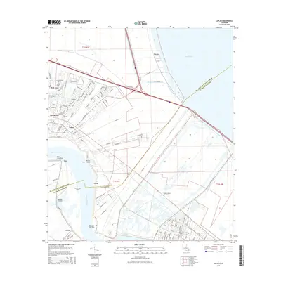
1967 Map of Laplace
USGS Topo · Published 1968About this map
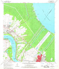
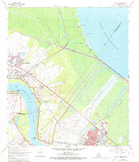
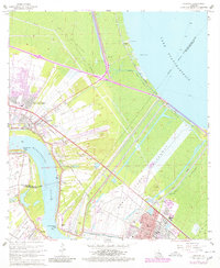
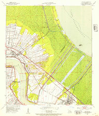
The Bonnet Carre Spillway and its extensive Bonnet Carre Floodway dominate this 1960s landscape, illustrating the critical river-control infrastructure between the Mississippi River and Lake Pontchartrain. Along the river's winding course, established communities like Laplace, Norco, and Montz are shown alongside industrial landmarks such as the Refinery and multiple energy sectors including the Norco Oil and Gas Field and Laplace Oil and Gas Field. Small-scale details for genealogists include the Montz Cem and Bethune High Sch, while the shoreline of the lake features the Gaging Station and Frenier Beach. This survey records a period of heavy industrialization and flood management, where the Illinois Central Railroad and Texas & Pacific lines intersect with the complex levee systems protecting the river parishes.
Find a feature on this map
47 named features on this map. Tap any name to fly to it.
Don’t see what you’re looking for? This feature index may not catch every label — zoom into the map to look around manually.
Map Details
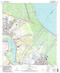
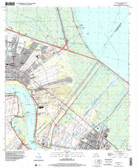
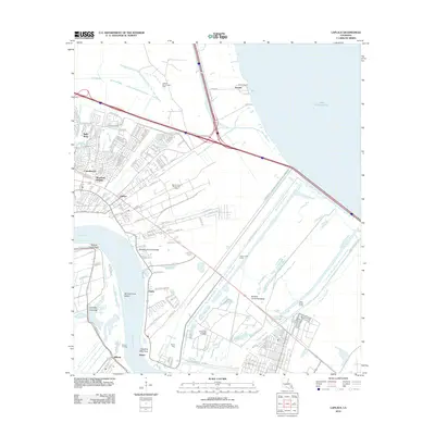
Editions of this 1967 Laplace Map
4 editions found
Historical Maps of LaPlace Through Time
10 maps found
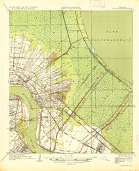
1935 Laplace
St. John the Baptist Parish, LA
1952 Laplace
St. John the Baptist Parish, LA

1967 Laplace
St. John the Baptist Parish, LA
1992 Laplace
St. John the Baptist Parish, LA
1998 Laplace
St. John the Baptist Parish, LA
2012 Laplace
St. John the Baptist Parish, LA
2015 Laplace
St. John the Baptist Parish, LA
2018 Laplace
St. John the Baptist Parish, LA
2020 Laplace
St. John the Baptist Parish, LA
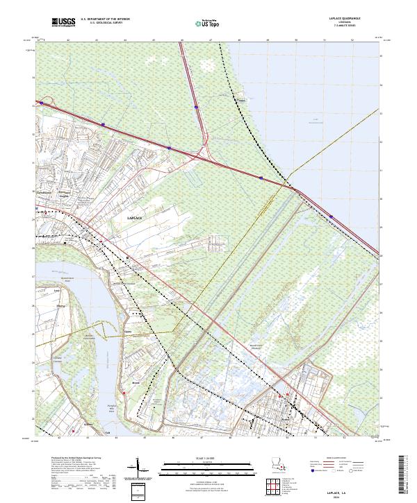
2024 Laplace
St. John the Baptist Parish, LA