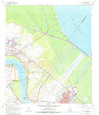
1967 Map of Laplace
USGS Topo · Published 1973About this map
The Bonnet Carre Floodway and Bonnet Carre Spillway dominate this riverine landscape, illustrating the massive mid-century engineering efforts to control the Mississippi River. Between the river's bend and the shores of Lake Pontchartrain, industrial growth is evident in the expansive Norco Oil and Gas Field and the Substation Refinery. This era shows the convergence of traditional river settlements like Lucy and Montz with newer developments such as Carrollwood and Riverland Heights. The map records vital community landmarks including the Montz Cem and Bethune High Sch, while the transportation network is anchored by the Illinois Central Gulf and Texas & Pacific railroads. From the remote lakeshore at Frenier to the busy industrial corridor of Norco, the survey captures a region balancing petrochemical expansion with complex delta water management.
Find a feature on this map
42 named features on this map. Tap any name to fly to it.
Don’t see what you’re looking for? This feature index may not catch every label — zoom into the map to look around manually.
Map Details
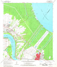
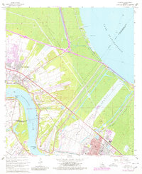
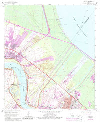
Editions of this 1967 Laplace Map
4 editions found
Other maps of this area

1891 · Hahnville
USGS Topo · 1:62,500

1892 · Lac Des Allemands
USGS Topo · 1:62,500

1892 · Mount Airy
USGS Topo · 1:62,500

1892 · Bonnet Carre
USGS Topo · 1:62,500

1932 · Hahnville NW
USGS Topo · 1:31,680

1932 · Lac Des Allemands NE
USGS Topo · 1:31,680

1932 · Hahnville NE
USGS Topo · 1:31,680

1935 · Laplace
USGS Topo · 1:31,680

1935 · Luling
USGS Topo · 1:31,680

1936 · Hahnville
USGS Topo · 1:31,680