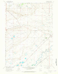
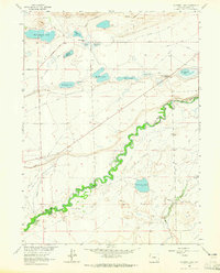
1963 Map of Laramie SW
USGS Topo · Published 1965About this map
West Laramie and the surrounding high plains of Albany County are defined by a complex network of irrigation and transportation infrastructure in this 1963 survey. The landscape is marked by prominent natural depressions including Big Basin and The Big Hollow, while the agricultural character of the region is anchored by the Univ of Wyo Agronomy Farm and Univ of Wyo Dairy Farm. Aviation and rail history intersect here, with the Union Pacific corridor running parallel to General Brees Field, which serves as a regional aviation hub.
Find a feature on this map
34 named features on this map. Tap any name to fly to it.
Don’t see what you’re looking for? This feature index may not catch every label — zoom into the map to look around manually.
Map Details
Editions of this 1963 Laramie SW Map
2 editions found
Other maps of this area

1895 · Laramie
USGS Topo · 1:125,000

1902 · Laramie
USGS Topo · 1:125,000

1905 · Laramie
USGS Topo · 1:125,000

1906 · Laramie
USGS Topo · 1:125,000

1908 · Laramie
USGS Topo · 1:125,000

1954 · Cheyenne
USGS Topo · 1:250,000

1958 · Cheyenne
USGS Topo · 1:250,000
1962 · Miller
USGS Topo · 1:24,000
1963 · Laramie
USGS Topo · 1:24,000
1963 · Caldwell Lake
USGS Topo · 1:24,000