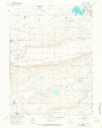
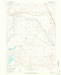
1962 Map of Miller
USGS Topo · Published 1965About this map
The Overland Trail cuts across this high plains landscape, marking a legacy of westward migration through Albany County. At the heart of this 1962 survey lies the settlement of Miller, situated along the Union Pacific railroad corridor. The terrain is defined by wide depressions and water management, notably the vast expanse of The Big Hollow and the intricate network of irrigation including Mammoth Ditch, Stewart Canal, and Pioneer Canal. This infrastructure supported remote outposts like Windmill Ranch during a period of steady agricultural and ranching development. On the eastern edge, the Bamforth National Wildlife Refuge and Knadler Lake indicate the conservation of local basins, while a Historical Marker along the rail line preserves the memory of the early transit routes that first opened this territory.
Find a feature on this map
19 named features on this map. Tap any name to fly to it.
Don’t see what you’re looking for? This feature index may not catch every label — zoom into the map to look around manually.
Map Details
Editions of this 1962 Miller Map
2 editions found
Other maps of this area

1895 · Laramie
USGS Topo · 1:125,000

1902 · Laramie
USGS Topo · 1:125,000

1905 · Laramie
USGS Topo · 1:125,000

1906 · Laramie
USGS Topo · 1:125,000

1908 · Laramie
USGS Topo · 1:125,000

1954 · Cheyenne
USGS Topo · 1:250,000

1958 · Cheyenne
USGS Topo · 1:250,000
1962 · Millbrook
USGS Topo · 1:24,000
1963 · Caldwell Lake
USGS Topo · 1:24,000
1963 · Bamforth Lake
USGS Topo · 1:24,000