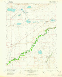
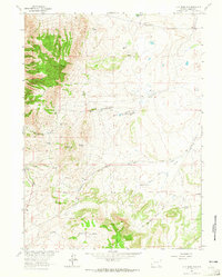
1963 Map of Caldwell Lake
USGS Topo · Published 1965About this map
The Laramie River winds in a tight, meandering course through this high-plains landscape, serving as the central artery for a complex network of irrigation ditches and prairie ponds. In the early 1960s, the area’s ranching economy is clearly defined by family-named landmarks such as the Hunsicker Ranch and Riverside Ranch, alongside an extensive system of water management features including the Fisher Ditch, Last Chance Ditch, and Old King Ditch. These man-made channels support the arid surroundings, linking the river to a series of natural and artificial basins.
Find a feature on this map
31 named features on this map. Tap any name to fly to it.
Don’t see what you’re looking for? This feature index may not catch every label — zoom into the map to look around manually.
Map Details
Editions of this 1963 Caldwell Lake Map
2 editions found
Other maps of this area

1895 · Laramie
USGS Topo · 1:125,000

1902 · Laramie
USGS Topo · 1:125,000

1905 · Laramie
USGS Topo · 1:125,000

1906 · Laramie
USGS Topo · 1:125,000

1908 · Laramie
USGS Topo · 1:125,000

1954 · Cheyenne
USGS Topo · 1:250,000

1958 · Cheyenne
USGS Topo · 1:250,000
1962 · Miller
USGS Topo · 1:24,000
1962 · Millbrook
USGS Topo · 1:24,000
1963 · Jelm Mountain
USGS Topo · 1:24,000