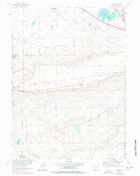
1962 Map of Miller
USGS Topo · Published 1978About this map
The Union Pacific railroad cuts a straight path across this high-altitude landscape, anchoring the small settlement of Miller within Albany County. The terrain is defined by dramatic depressions and water management, featuring the expansive The Big Hollow and the Big Basin to the northeast. To the north, Poverty Flat stretches toward the Bamforth National Wildlife Refuge, where Knadler Lake and Pilger Lake provide critical water sources in a region otherwise dominated by complex irrigation systems like the Mammoth Ditch and Stewart Canal.
Find a feature on this map
18 named features on this map. Tap any name to fly to it.
Don’t see what you’re looking for? This feature index may not catch every label — zoom into the map to look around manually.
Map Details
Editions of this 1962 Miller Map
2 editions found
Other maps of this area

1895 · Laramie
USGS Topo · 1:125,000

1902 · Laramie
USGS Topo · 1:125,000

1905 · Laramie
USGS Topo · 1:125,000

1906 · Laramie
USGS Topo · 1:125,000

1908 · Laramie
USGS Topo · 1:125,000

1954 · Cheyenne
USGS Topo · 1:250,000

1958 · Cheyenne
USGS Topo · 1:250,000
1962 · Miller
USGS Topo · 1:24,000
1962 · Millbrook
USGS Topo · 1:24,000
1963 · Caldwell Lake
USGS Topo · 1:24,000