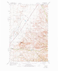
1959 Map of Laredo
USGS Topo · Published 1975About this map
Laredo and the surrounding plains of the Rocky Boys Indian Reservation define this landscape during the late 1950s. The Great Northern railroad cuts a diagonal line across the terrain, passing through the small settlement of Laredo and providing a vital link for the agricultural economy. To the northeast, the Agriculture Experimental Sta occupies the historic Fort Assinniboine Site, indicating the transition of former military grounds into scientific land use.
Find a feature on this map
31 named features on this map. Tap any name to fly to it.
Don’t see what you’re looking for? This feature index may not catch every label — zoom into the map to look around manually.
Map Details
Editions of this 1959 Laredo Map
2 editions found

Other maps of this area

1904 · Havre
USGS Topo · 1:62,500

1904 · Assinniboine
USGS Topo · 1:62,500

1904 · Boxelder
USGS Topo · 1:62,500

1906 · Kremlin
USGS Topo · 1:62,500

1906 · Boxelder
USGS Topo · 1:62,500

1912 · Thibedeau Lake
USGS Topo · 1:125,000

1919 · Big Sandy
USGS Topo · 1:125,000

1920 · Gildford
USGS Topo · 1:125,000

1943 · Gildford
USGS Topo · 1:125,000

1953 · Havre
USGS Topo · 1:250,000