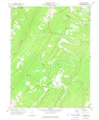
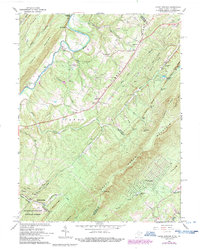
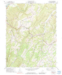
1973 Map of Largent
USGS Topo · Published 1975This historical map portrays the area of Largent in 1973, primarily covering Hampshire County as well as portions of Morgan County. Featuring a scale of 1:24000, this map provides a highly detailed snapshot of the terrain, roads, buildings, counties, and historical landmarks in the Largent region at the time. Published in 1975, it is one of 2 known editions of this map due to revisions or reprints.
Find a feature on this map
31 named features on this map. Tap any name to fly to it.
Don’t see what you’re looking for? This feature index may not catch every label — zoom into the map to look around manually.
Map Details
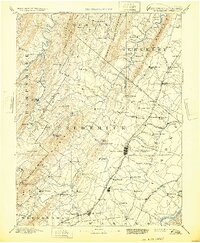
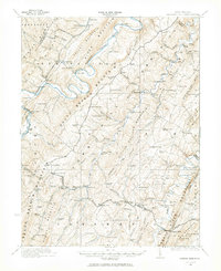
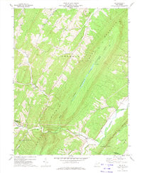
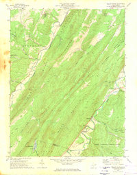
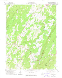
Editions of this 1973 Largent Map
2 editions found
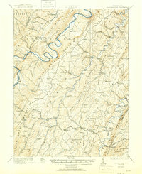
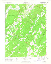
Historical Maps of Hampshire County Through Time
11 maps found
1894 Winchester
Hampshire County, WV
1921 Hanging Rock
Hampshire County, WV
1923 Hanging Rock
Hampshire County, WV
1965 Capon Springs
Hampshire County, WV
1970 Rio
Hampshire County, WV
1970 Yellow Spring
Hampshire County, WV
1971 Sector
Hampshire County, WV
1973 Augusta
Hampshire County, WV
1973 Hanging Rock
Hampshire County, WV
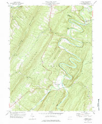
1973 Largent
Hampshire County, WV
1973 Levels
Hampshire County, WV