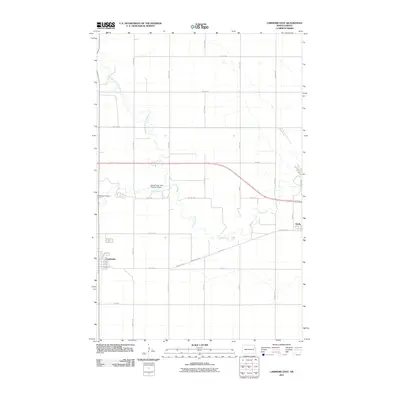
2011 Map of Larimore East
USGS Topo · Published 2011About this map
The Turtle River and its branches define the geography of this Grand Forks County landscape just east of the city of Larimore. The river system, including the North Branch Turtle River and South Branch Turtle River, meanders across the prairie, constrained by the Upper Turtle River Number 9 Dam. This modern survey illustrates the organized grid of the Red River Valley, where long-established section roads like 18th Ave and 34th St NE connect the regional hub of Larimore to the smaller settlement of Arvilla to the east. For those interested in local heritage, the map identifies the Bellevue Cemetery located near the river's bend and details the residential layout of the area's towns, including streets like Franklin Ave and Park St. The landscape remains primarily agricultural, shaped by the persistent flow of the Turtle River and the critical artery of County Hwy 4.
Find a feature on this map
30 named features on this map. Tap any name to fly to it.
Don’t see what you’re looking for? This feature index may not catch every label — zoom into the map to look around manually.
Map Details
Editions of this 2011 Larimore East Map
This is the sole edition of this map. No revisions or reprints were ever made.
Other maps of this area

1926 · Ardoch
USGS Topo · 1:62,500

1934 · Emerado
USGS Topo · 1:48,000

1936 · Emerado
USGS Topo · 1:62,500

1936 · Larimore
USGS Topo · 1:62,500

1952 · Grand Forks
USGS Topo · 1:250,000

1952 · Thief River Falls
USGS Topo · 1:250,000

1956 · Thief River Falls
USGS Topo · 1:250,000

1956 · Grand Forks
USGS Topo · 1:250,000

1957 · Thief River Falls
USGS Topo · 1:250,000

1963 · Orr
USGS Topo · 1:24,000