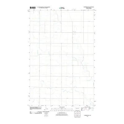
2011 Map of Larimore SW
USGS Topo · Published 2011About this map
Goose River and the Little Goose River wind through this section of the Red River Valley, carving intricate meanders across the agricultural grid. The landscape is defined by the rigid section-line road system characteristic of Grand Forks County, with routes like 42nd St NE and 13th Ave NE forming the primary framework for local travel. A smaller waterway, Spring Creek, enters from the southwest corner, contributing to the drainage of these fertile plains. The intersection of natural watercourses and the man-made grid illustrates the systematic land division of the early 21st century, where even the smallest tributaries like the Little Goose River dictate the subtle deviations in the straight-line paths of roads such as 38th St NE.
Find a feature on this map
24 named features on this map. Tap any name to fly to it.
Don’t see what you’re looking for? This feature index may not catch every label — zoom into the map to look around manually.
Map Details
Editions of this 2011 Larimore SW Map
This is the sole edition of this map. No revisions or reprints were ever made.
Other maps of this area

1936 · Larimore
USGS Topo · 1:62,500

1939 · Niagara
USGS Topo · 1:62,500

1952 · Grand Forks
USGS Topo · 1:250,000

1956 · Grand Forks
USGS Topo · 1:250,000

1963 · Larimore East
USGS Topo · 1:24,000

1963 · Kempton
USGS Topo · 1:24,000

1963 · Larimore SW
USGS Topo · 1:24,000

1963 · Larimore West
USGS Topo · 1:24,000
1963 · Niagara
USGS Topo · 1:24,000

1963 · Logan Center
USGS Topo · 1:24,000