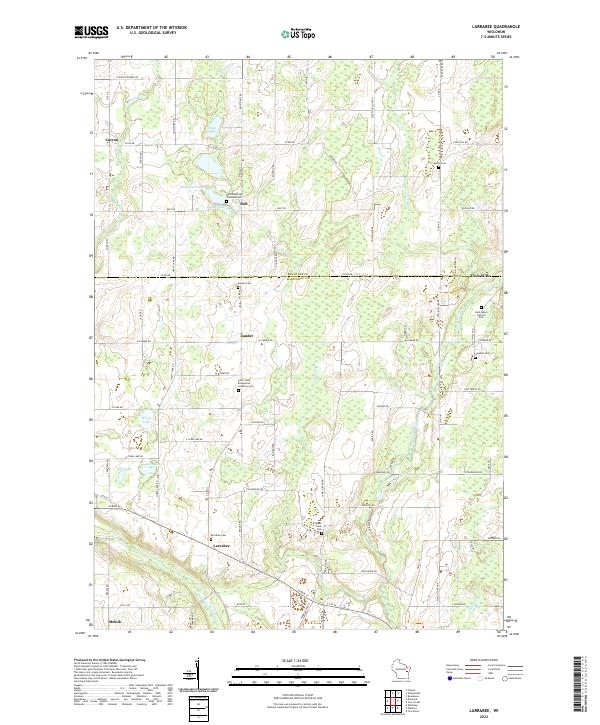
2022 Map of Larrabee
USGS Topo · Published 2022About this map
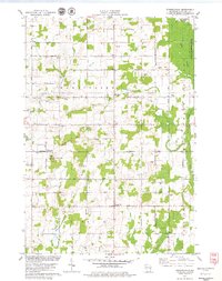
Larrabee and the surrounding farmland of Manitowoc County appear here in a landscape defined by small crossroads settlements and numerous rural burying grounds. This pocket of eastern Wisconsin is heavily marked by its religious and ethnic heritage, evidenced by the Saint Johns Evangelical Lutheran Cem and the Bolt Bohemian Township Cem. These sites, along with the German Cem and Saint Marys Catholic Cem, highlight the distinct immigrant communities that established these townships.
Find a feature on this map
94 named features on this map. Tap any name to fly to it.
Don’t see what you’re looking for? This feature index may not catch every label — zoom into the map to look around manually.
Map Details
Editions of this 2022 Larrabee Map
This is the sole edition of this map. No revisions or reprints were ever made.
Other maps of this area
1954 · Kewaunee
USGS Topo · 1:62,500
1954 · Manitowoc
USGS Topo · 1:62,500
1954 · Denmark
USGS Topo · 1:62,500
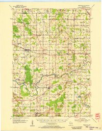
1954 · Reedsville
USGS Topo · 1:62,500

1954 · Manitowoc
USGS Topo · 1:250,000

1958 · Manitowoc
USGS Topo · 1:250,000
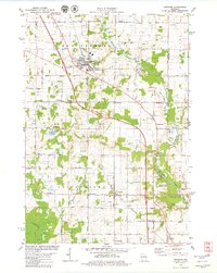
1978 · Denmark
USGS Topo · 1:24,000
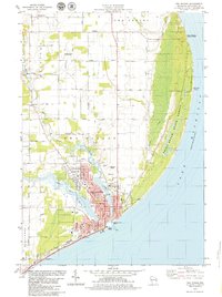
1978 · Two Rivers
USGS Topo · 1:24,000
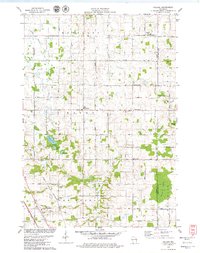
1978 · Poland
USGS Topo · 1:24,000
1978 · Stangelville
USGS Topo · 1:24,000