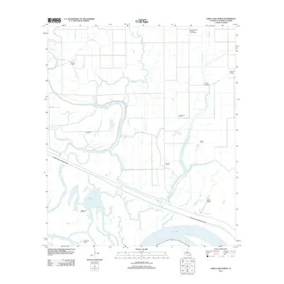
2012 Map of Larto Lake North
USGS Topo · Published 2012About this map
The low-lying wetlands of Catahoula Parish are defined here by an intricate web of waterways, including Big Bayou, Cypress Bayou, and the expansive Larto Lake. The landscape is a mix of natural swamp hydrology and significant man-made alterations, most notably the Catahoula Lake Diversion Canal which cuts a straight line across the southern portion of the quadrangle. In the early 2010s, this region shows a clear intersection of conservation-style terrain and active resource extraction, as evidenced by the numerous energy sites such as the Serena Oil Field and Larto Lake Oil Field scattered among the breaks and sloughs.
Find a feature on this map
28 named features on this map. Tap any name to fly to it.
Don’t see what you’re looking for? This feature index may not catch every label — zoom into the map to look around manually.
Map Details
Editions of this 2012 Larto Lake North Map
This is the sole edition of this map. No revisions or reprints were ever made.
Other maps of this area

1935 · Tooleys
USGS Topo · 1:62,500

1941 · Manifest
USGS Topo · 1:62,500

1941 · Jena
USGS Topo · 1:62,500

1941 · Buckeye
USGS Topo · 1:62,500

1941 · Tooleys
USGS Topo · 1:62,500

1953 · Alexandria
USGS Topo · 1:250,000

1953 · Natchez
USGS Topo · 1:250,000

1955 · Alexandria
USGS Topo · 1:250,000

1956 · Natchez
USGS Topo · 1:250,000

1958 · Jena
USGS Topo · 1:62,500