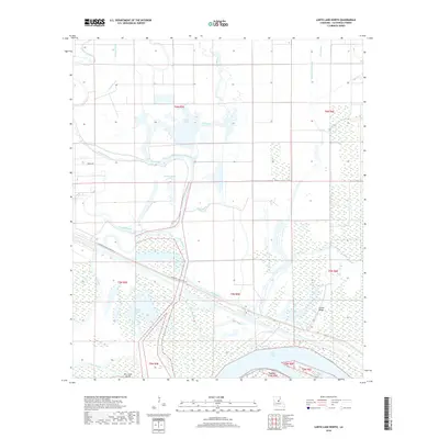
2018 Map of Larto Lake North
USGS Topo · Published 2018About this map
Larto Lake and its intricate network of bayous and brakes dominate this portion of Catahoula Parish, reflecting the dynamic hydrologic history of the Lower Mississippi Valley. The landscape is defined by sprawling water bodies like Maknockanut Lake and Shad Lake, interspersed with seasonal wetlands such as Hudson Brake and Gillespie Brake. These features indicate an area of low-lying alluvial plains where water movement is slow and complex, following the winding paths of Big Bayou and Cypress Bayou.
Find a feature on this map
26 named features on this map. Tap any name to fly to it.
Don’t see what you’re looking for? This feature index may not catch every label — zoom into the map to look around manually.
Map Details
Editions of this 2018 Larto Lake North Map
This is the sole edition of this map. No revisions or reprints were ever made.
Other maps of this area

1935 · Tooleys
USGS Topo · 1:62,500

1941 · Manifest
USGS Topo · 1:62,500

1941 · Jena
USGS Topo · 1:62,500

1941 · Buckeye
USGS Topo · 1:62,500

1941 · Tooleys
USGS Topo · 1:62,500

1953 · Alexandria
USGS Topo · 1:250,000

1953 · Natchez
USGS Topo · 1:250,000

1955 · Alexandria
USGS Topo · 1:250,000

1956 · Natchez
USGS Topo · 1:250,000

1958 · Jena
USGS Topo · 1:62,500