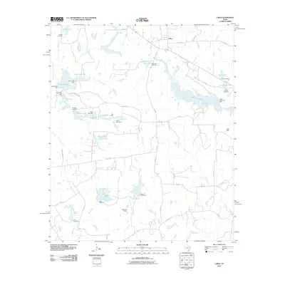
2010 Map of LaRue
USGS Topo · Published 2010About this map
Larue stands as the primary settlement in this East Texas landscape, situated along the northern reach of a complex network of creeks and small reservoirs. The area is defined by its extensive water management, featuring numerous named dams like Alder Creek Dam and Johns Lake Dam that have transformed the drainage of Catfish Creek and Caddo Creek into a series of private and community lakes. The terrain rises toward Rock Hill in the east, while the southern portion of the quadrangle remains dominated by the riparian corridors of Brushy Creek and Wolf Creek. Notable infrastructure includes the Glad Oaks Airport, providing a rural aviation hub amidst the timber and ranch land. This 2010 survey illustrates a modern transition where traditional agriculture and ranching coexist with recreational water developments like Caddo Creek Lake and Rainbo Lake.
Find a feature on this map
63 named features on this map. Tap any name to fly to it.
Don’t see what you’re looking for? This feature index may not catch every label — zoom into the map to look around manually.
Map Details
Editions of this 2010 LaRue Map
This is the sole edition of this map. No revisions or reprints were ever made.
Other maps of this area

1949 · Palestine
USGS Topo · 1:62,500

1949 · Frankston
USGS Topo · 1:62,500

1949 · Athens
USGS Topo · 1:62,500

1949 · Tennessee Colony
USGS Topo · 1:62,500

1950 · Athens
USGS Topo · 1:62,500

1950 · Palestine
USGS Topo · 1:62,500

1950 · Frankston
USGS Topo · 1:62,500

1950 · Tennessee Colony
USGS Topo · 1:62,500

1953 · Palestine
USGS Topo · 1:250,000

1956 · Tyler
USGS Topo · 1:250,000