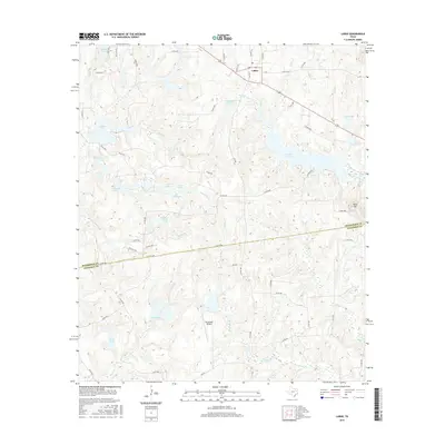
2016 Map of LaRue
USGS Topo · Published 2016About this map
LaRue serves as the central hub of this East Texas landscape, positioned near the northern edge where the terrain transitions into a dense network of private reservoirs and creek drainages. The area is defined by its sophisticated water management, featuring named bodies such as Caddo Cr Lake, Hallmark Lake, and Pharris Lakes. This intricate hydrography suggests a region heavily utilized for recreation and agriculture, with numerous county roads like Co RD 4528 and Co RD 4400 providing access to isolated homesteads and ranch lands.
Find a feature on this map
70 named features on this map. Tap any name to fly to it.
Don’t see what you’re looking for? This feature index may not catch every label — zoom into the map to look around manually.
Map Details
Editions of this 2016 LaRue Map
This is the sole edition of this map. No revisions or reprints were ever made.
Other maps of this area

1949 · Palestine
USGS Topo · 1:62,500

1949 · Frankston
USGS Topo · 1:62,500

1949 · Athens
USGS Topo · 1:62,500

1949 · Tennessee Colony
USGS Topo · 1:62,500

1950 · Athens
USGS Topo · 1:62,500

1950 · Palestine
USGS Topo · 1:62,500

1950 · Frankston
USGS Topo · 1:62,500

1950 · Tennessee Colony
USGS Topo · 1:62,500

1953 · Palestine
USGS Topo · 1:250,000

1956 · Tyler
USGS Topo · 1:250,000