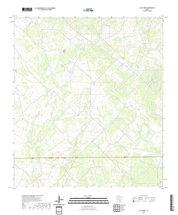
2022 Map of Las Flores
USGS Topo · Published 2022About this map
Ruiz Cr and Rock Cr carve a winding drainage pattern across this South Texas landscape where the boundaries of Frio and La Salle counties meet. The terrain is defined by an extensive network of man-made water catchments, including Buck Tank, Caldwell Tank, Harry Tank, and the Bar-One Tank, which highlight the region's reliance on managed water resources for ranching and livestock.
Find a feature on this map
17 named features on this map. Tap any name to fly to it.
Don’t see what you’re looking for? This feature index may not catch every label — zoom into the map to look around manually.
Map Details
Editions of this 2022 Las Flores Map
This is the sole edition of this map. No revisions or reprints were ever made.
Other maps of this area

1927 · Pearsall
USGS Topo · 1:62,500

1934 · Schattel
USGS Topo · 1:62,500

1942 · Dilley
USGS Topo · 1:62,500

1953 · Crystal City
USGS Topo · 1:250,000

1955 · Crystal City
USGS Topo · 1:250,000

1956 · Hindes
USGS Topo · 1:62,500

1961 · Crystal City
USGS Topo · 1:250,000

1964 · Pearsall South
USGS Topo · 1:24,000

1968 · Crystal City
USGS Topo · 1:250,000
1968 · Keystone Ranch
USGS Topo · 1:24,000