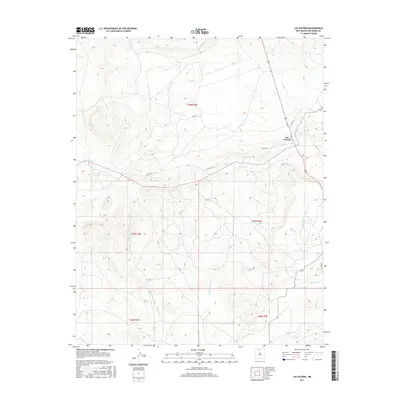
2017 Map of Las Nutrias
USGS Topo · Published 2017About this map
Las Nutrias serves as the primary focal point in this high-altitude landscape of northern New Mexico, situated near the intersection of several county routes and the upper reaches of the Rio Nutrias. The terrain is defined by a complex network of drainage systems, with seasonal watercourses such as Cañada Sanchez, Cañada del Policarpio, and Cañada de Humo carving through the plateau. These natural features suggest a long history of land use centered on the accessibility of water in an arid environment. To the east, the Rio Cebolla and its tributaries, including Cañada de la Lagunita, drain the slopes toward the lower valleys. This survey illustrates the modern configuration of rural county roads like Co RD 314 and Co RD 317 as they provide access to the remote township boundaries of t27n r4e and t29n r5e.
Find a feature on this map
17 named features on this map. Tap any name to fly to it.
Don’t see what you’re looking for? This feature index may not catch every label — zoom into the map to look around manually.
Map Details
Editions of this 2017 Las Nutrias Map
This is the sole edition of this map. No revisions or reprints were ever made.
Other maps of this area

1909 · Gallina
USGS Topo · 1:125,000

1918 · Abiquiu
USGS Topo · 1:125,000

1918 · Tusas
USGS Topo · 1:125,000

1953 · Alire
USGS Topo · 1:24,000

1953 · Canjilon
USGS Topo · 1:24,000

1953 · Navajo Peak
USGS Topo · 1:24,000

1954 · Aztec
USGS Topo · 1:250,000

1955 · Cebolla
USGS Topo · 1:62,500

1955 · Tierra Amarilla
USGS Topo · 1:62,500

1958 · Aztec
USGS Topo · 1:250,000