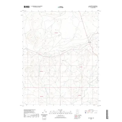
2020 Map of Las Nutrias
USGS Topo · Published 2020About this map
Las Nutrias serves as the central settlement in this high-altitude landscape of Northern New Mexico, where the drainage of the Rio Nutrias carves through the terrain. The geography is defined by a series of named cañadas, including Cañada de Policarpio, Cañada Sanchez, and Cañada del Humo, which reflect the historic Spanish land use and naming traditions of Rio Arriba County. These canyons and seasonal washes dictate the local transit patterns, with rural routes like Co Rd 314 and Co Rd 312 following the natural contours of the land.
Find a feature on this map
17 named features on this map. Tap any name to fly to it.
Don’t see what you’re looking for? This feature index may not catch every label — zoom into the map to look around manually.
Map Details
Editions of this 2020 Las Nutrias Map
This is the sole edition of this map. No revisions or reprints were ever made.
Other maps of this area

1909 · Gallina
USGS Topo · 1:125,000

1918 · Abiquiu
USGS Topo · 1:125,000

1918 · Tusas
USGS Topo · 1:125,000

1953 · Alire
USGS Topo · 1:24,000

1953 · Canjilon
USGS Topo · 1:24,000

1953 · Navajo Peak
USGS Topo · 1:24,000

1954 · Aztec
USGS Topo · 1:250,000

1955 · Cebolla
USGS Topo · 1:62,500

1955 · Tierra Amarilla
USGS Topo · 1:62,500

1958 · Aztec
USGS Topo · 1:250,000