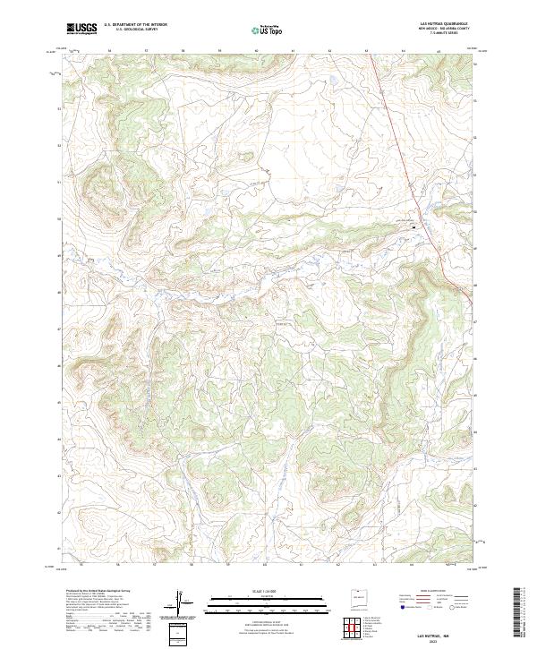
2023 Map of Las Nutrias
USGS Topo · Published 2023About this map
Rio Nutrias and its intricate drainage network define this high-altitude landscape in Rio Arriba County. The presence of the Santa Rita Catholic Cem near the intersection of Co RD 317 and Co RD 314 provides a focal point for genealogical research in this northern New Mexico region. The terrain is marked by numerous deep-cut drainages, such as Cañada del Policarpo and Cañada Sanchez, which flow into larger watercourses like the Rio Cebolla. This modern survey reflects the enduring cattle-guard and county road infrastructure that links these remote segments of the Carson National Forest and surrounding township sections. The map reveals how the landscape is segmented by local routes, including Co RD 312, following the natural contours of the mesas and canyons.
Find a feature on this map
17 named features on this map. Tap any name to fly to it.
Don’t see what you’re looking for? This feature index may not catch every label — zoom into the map to look around manually.
Map Details
Editions of this 2023 Las Nutrias Map
This is the sole edition of this map. No revisions or reprints were ever made.
Other maps of this area

1909 · Gallina
USGS Topo · 1:125,000

1918 · Abiquiu
USGS Topo · 1:125,000

1918 · Tusas
USGS Topo · 1:125,000

1953 · Alire
USGS Topo · 1:24,000

1953 · Canjilon
USGS Topo · 1:24,000

1953 · Navajo Peak
USGS Topo · 1:24,000

1954 · Aztec
USGS Topo · 1:250,000

1955 · Cebolla
USGS Topo · 1:62,500

1955 · Tierra Amarilla
USGS Topo · 1:62,500

1958 · Aztec
USGS Topo · 1:250,000