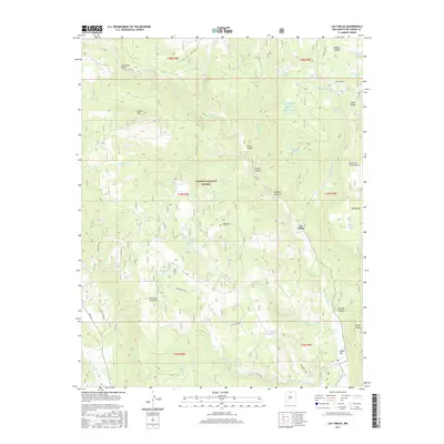
2017 Map of Las Tablas
USGS Topo · Published 2017About this map
Las Tablas sits at the heart of this high-elevation terrain, where the Rio Tusas carves through the landscape of the Carson National Forest. The geography is defined by a series of dramatic mesas and canyons, notably the Mesa de la Jarita and the deep cut of Dorado Canyon to the southeast. Water management is central to the area's utility, evidenced by a dense network of tanks and springs, such as Hondo Number One Tank, Lagunita Tank, and McIntyre Spring, which support the local ecosystem and land use. The presence of named features like Cleveland Gulch and Kiowa Mtn suggests a history tied to small-scale prospecting and grazing. This survey provides a clear look at the remote road network, including the Jarita Meza Rd, which navigates the complex relief between the Tusas Ridge and the Tusas Box.
Find a feature on this map
53 named features on this map. Tap any name to fly to it.
Don’t see what you’re looking for? This feature index may not catch every label — zoom into the map to look around manually.
Map Details
Editions of this 2017 Las Tablas Map
This is the sole edition of this map. No revisions or reprints were ever made.
Other maps of this area

1918 · Abiquiu
USGS Topo · 1:125,000

1918 · Tusas
USGS Topo · 1:125,000

1953 · Valle Grande Peak
USGS Topo · 1:24,000

1953 · La Madera
USGS Topo · 1:24,000

1954 · Raton
USGS Topo · 1:250,000

1954 · Aztec
USGS Topo · 1:250,000

1958 · Raton
USGS Topo · 1:250,000

1958 · Aztec
USGS Topo · 1:250,000

1961 · Servilleta Plaza
USGS Topo · 1:24,000

1962 · Aztec
USGS Topo · 1:250,000