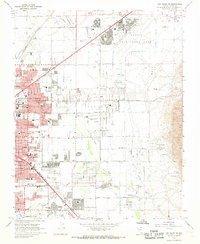
1967 Map of Las Vegas NE
USGS Topo · Published 1968About this map
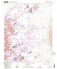
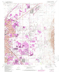
Nellis Air Force Base dominates the northeastern landscape of this mid-century desert basin, establishing a massive footprint alongside the expanding residential grids of North Las Vegas and Las Vegas. The era's growth is evident in the dense concentration of educational institutions like St Christophers Sch, Martin Jr High Sch, and Knudson Jr High Sch, which populate the newly platted neighborhoods. This survey captures a moment when the city’s suburban reach was pushing east toward the Las Vegas Wash, yet still retained pockets of industrial and leisure activity, from the Stardust Country Club in the south to the Frenchman Mine in the rugged eastern foothills. The Union Pacific rail line and established thoroughfares like Vegas Valley Drive orient the valley’s development around these arterial connections.
Find a feature on this map
68 named features on this map. Tap any name to fly to it.
Don’t see what you’re looking for? This feature index may not catch every label — zoom into the map to look around manually.
Map Details
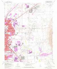
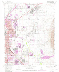
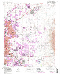
Editions of this 1967 Las Vegas NE Map
6 editions found
Other maps of this area

1886 · Saint Thomas
USGS Topo · 1:250,000

1893 · Saint Thomas
USGS Topo · 1:250,000

1907 · Las Vegas
USGS Topo · 1:250,000

1908 · Las Vegas
USGS Topo · 1:250,000

1926 · Boulder Canyon
USGS Topo · 1:96,000

1952 · Gass Peak
USGS Topo · 1:62,500

1952 · Dry Lake
USGS Topo · 1:62,500

1952 · Henderson
USGS Topo · 1:62,500

1952 · Las Vegas
USGS Topo · 1:62,500

1954 · Las Vegas
USGS Topo · 1:250,000