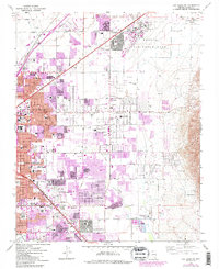
1967 Map of Las Vegas NE
USGS Topo · Published 1984About this map
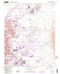
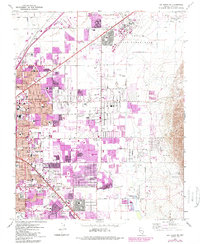
Nellis Air Force Base dominates the northern landscape of this region, serving as a massive anchor for the burgeoning suburban expansion of North Las Vegas and Las Vegas during the mid-1960s. The map captures a critical period of desert urbanization, where residential grids are rapidly encroaching on the Las Vegas Wash and Flamingo Wash. Educational infrastructure is densely represented by dozens of neighborhood schools like Cahlan Sch, Von Tobel Jr High Sch, and Variety Sch, reflecting the postwar population boom in the Mojave. Beyond the residential clusters of Sunrise Acres and Winterwood, the eastern terrain shifts abruptly to industrial and extraction zones, marked by extensive Gravel Pits and the isolated Lake Mead Base. The Union Pacific rail line and major thoroughfares such as Las Vegas Blvd N provide the primary transit arteries connecting the city center to the surrounding military installations and outlying settlements like Wann.
Find a feature on this map
66 named features on this map. Tap any name to fly to it.
Don’t see what you’re looking for? This feature index may not catch every label — zoom into the map to look around manually.
Map Details
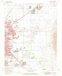
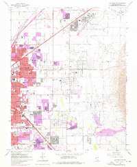
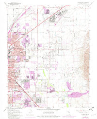
Editions of this 1967 Las Vegas NE Map
6 editions found
Other maps of this area

1886 · Saint Thomas
USGS Topo · 1:250,000

1893 · Saint Thomas
USGS Topo · 1:250,000

1907 · Las Vegas
USGS Topo · 1:250,000

1908 · Las Vegas
USGS Topo · 1:250,000

1926 · Boulder Canyon
USGS Topo · 1:96,000

1952 · Gass Peak
USGS Topo · 1:62,500

1952 · Dry Lake
USGS Topo · 1:62,500

1952 · Henderson
USGS Topo · 1:62,500

1952 · Las Vegas
USGS Topo · 1:62,500

1954 · Las Vegas
USGS Topo · 1:250,000